PROVISIONAL DATA SUBJECT TO REVISION
LOCATION.--Lat 44°49'51", long 92°43'59", in NE 1/4 NW 1/4 sec.18, T.27 N., R.19 W., Pierce County, Hydrologic Unit 07030005, on right bank, 325 ft upstream from County Trunk Hwy F, 1.9 mi. upstream from mouth , 4.8 mi. downstream from Lake Louise Dam, and 5.5 mi. west of River Falls.
DRAINAGE AREA.-- 165 square miles.
PERIOD OF RECORD.--October 1916 to September 1921 (monthly discharge for some periods published in WSP 1308), October 1998 to September 1999, July 2002 to present.
REVISED RECORDS.--WSP 1308. WDR WI-99-1: Drainage area. WDR WI-02-1: Statistics table.
GAGE.--Water-stage recorder and crest-stage gage. Elevation of gage is 678.42 (NAVD88) from GPS. April 9, 2012 gage was moved 325 ft upstream of County Hwy F bridge. Datum did not change, but stage increased about 0.80 ft due to slightly higher elevation at new location. October 1998 to April 9, 2012 gage located on left bank 50 ft upstream from County Hwy F. Prior to October 1998, recording gage near present site at different datum.
REMARKS.--Gage-height telemeter at station.
Operated in Cooperation with:
 Trout Unlimited
 Kinnickinnic River Land Trust
 City of River Falls
and with funding from the U.S. Geological Survey
National Streamflow Information Program
![]()
The precipitation data for this station are temporary and will only be displayed for 30 days. Rainfall instrumentation may not be calibrated, and other quality assurance measures may not be performed that would make the data acceptable for archival, retrieval, or future use in general scientific or interpretive studies.
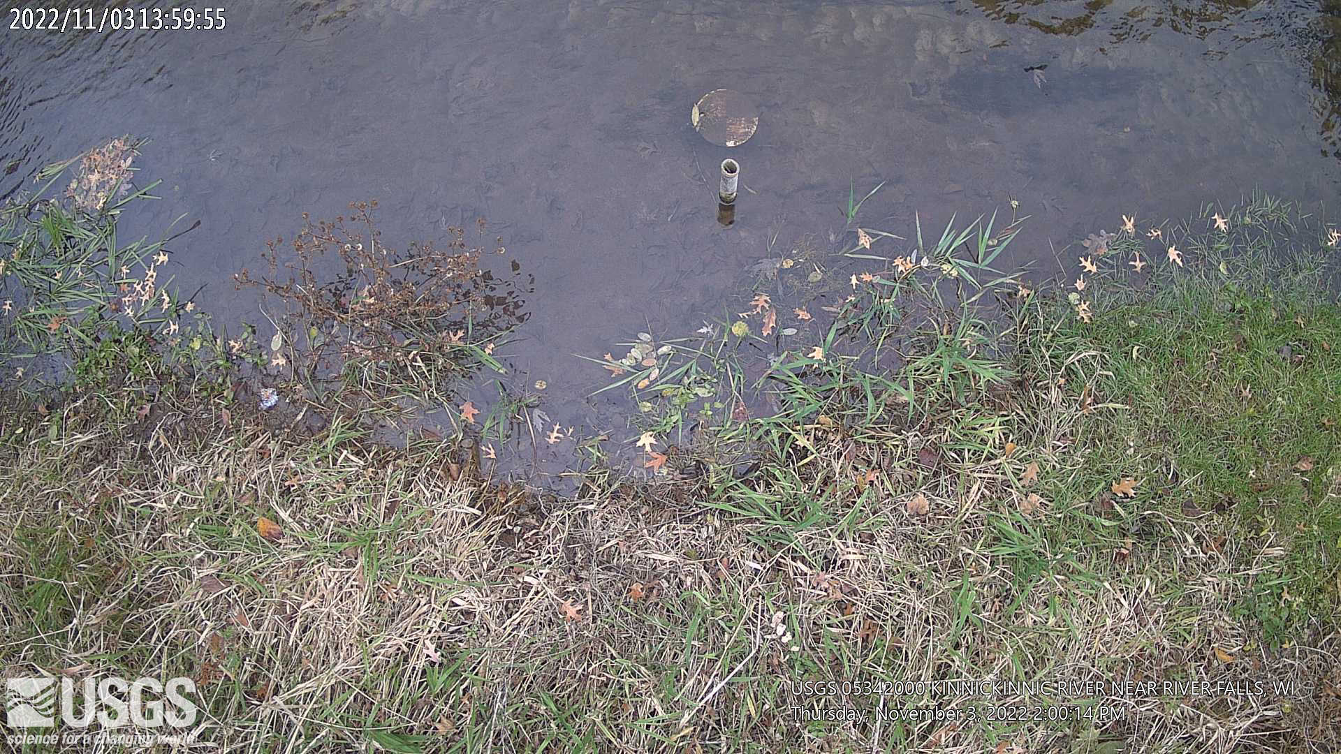
Click on animated image to see the latest medium size current video and the static image to view newest full size image. Click on these links for: full size current video; Frame Gallery; all video products for the site. Click on Secchi animated image to see the latest medium size current video and the static image to view newest full size image. Click on these links for: full size current video; Frame Gallery; all video products for the site.

Time-lapse video products are considered a proof of concept with no guarantee regarding product up time. Time-lapse videos can be viewed using Chrome, Firefox or Opera browser application on smartphone, tablet, desktop and laptop devices. Additional browser support for Safari and Internet Explorer may be added later.
Any use of trade, firm, or product names is for descriptive purposes only and does not imply endorsement by the U.S. Government.
Summary of all available data for this site
Instantaneous-data availability statement

