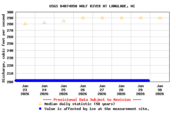
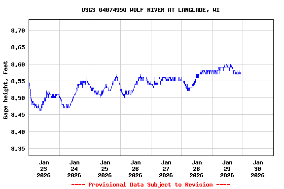
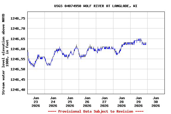
PROVISIONAL DATA SUBJECT TO REVISION
LOCATION.--Lat 45°11'24", long 88°44'00", SE 1/4 SW 1/4 sec.3, T.31 N., R.14 E., Langlade County, Hydrologic Unit 04030202, on left bank, upstream of bridge on State Highway 64 at Langlade, 1.5 mi east of White Lake, 3.0 mi upstream from White Lake Creek, and at about mile 170 above mouth.
DRAINAGE AREA.--463 square miles.
PERIOD OF RECORD.--March 1966 to September 1979, October 1980 to current year.
REVISED RECORDS.--WDR WI-81-1: Drainage area.
GAGE.--Water-stage recorder. Elevation of gage is 1,238.05 ft NAVD88, from GPS survey. Prior to Oct. 1, 1976, nonrecording gage 50 ft downstream at same elevation.
REMARKS.--Gage-height telemeter at station. Recreational users may find the National Weather Service River Forecast for this site useful.
OPERATED IN COOPERATION WITH:
 Menominee Indian Tribe of
Wisconsin
Additional Information:
 National Weather Service Flood Forecast Page
The precipitation data for this station are temporary and will only be displayed for 30 days. Although the instrumentation is calibrated at least annually, the temporary classification means that documented routine inspections and other quality-assurance measures are not performed that would make the data acceptable for archival, retrieval, or future use in general scientific or interpretive studies.em
| Boating safety tips |
Summary of all available data for this site
Instantaneous-data availability statement


