PROVISIONAL DATA SUBJECT TO REVISION
Click to hidestation-specific text
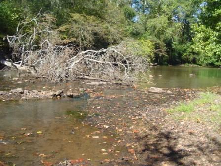
Summary of all available data for this site
Instantaneous-data availability statement

| Min (2002) | 25th percen- tile | Median | Mean | Most Recent Instantaneous Value Feb 27 | 75th percen- tile | Max (1992) |
|---|---|---|---|---|---|---|
| 248 | 440 | 729 | 963 | 1000 | 1340 | 3680 |
![]() U.S. Department of the Interior |
U.S. Geological Survey
U.S. Department of the Interior |
U.S. Geological Survey
Title: USGS Current Conditions for Alabama
URL:
Page Contact Information: Alabama Water Data Support Team
Page Last Modified: 2026-02-27 04:33:32 EST
0.94 0.72 caww02