PROVISIONAL DATA SUBJECT TO REVISION
Click to hidestation-specific text
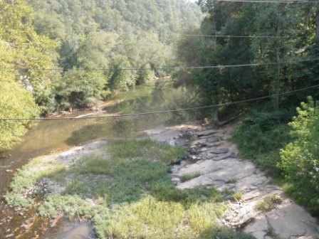
Summary of all available data for this site
Instantaneous-data availability statement

| Min (1988) | 25th percen- tile | Median | Mean | 75th percen- tile | Most Recent Instantaneous Value Feb 28 | Max (2009) |
|---|---|---|---|---|---|---|
| 90.0 | 189 | 314 | 610 | 664 | 1330 | 4620 |
![]() U.S. Department of the Interior |
U.S. Geological Survey
U.S. Department of the Interior |
U.S. Geological Survey
Title: USGS Current Conditions for Alabama
URL:
Page Contact Information: Alabama Water Data Support Team
Page Last Modified: 2026-02-28 09:12:19 EST
2.24 1.88 sdww02