
OGC-API-Processes | API Webinar | Apr 25
On April 25th, 2022, join our webinar to learn how to use USGS's Network Linked Data Index and OGC-API Processes Application Programming Interfaces to serve your unique water data display needs.
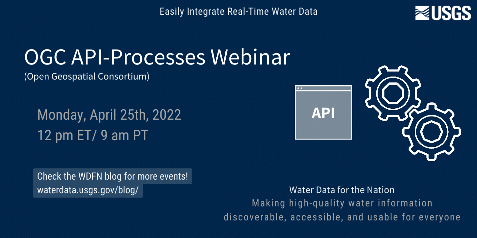
Join our next API webinar about the NLDI and OGC-API-Processes on 4/25/2022!
❔ What is the NLDI and OGC-API-Processes Webinar?
In this webinar on our Network Linked Data Index and Open Geospatial Consortium API (OGC-API), we’ll give you a brief background on APIs in general, then Dave Blodgett will give a live demo of the Network Linked Data Index API and associated OGC-API-Processing algorithms to retrieve precise drainage basins and cross sections at specific network locations.
🕛 When is it?
This webinar occurred on Monday, April 25th, 2022 at 12 pm ET/ 9 am PT. This webinar was recorded.
👩💻 Who is it for?
Programmers interested in improving their workflow with USGS water data
Anyone who wants to learn more about the power of APIs!
🤩 Tell me about the API Series
🙌 At the United States Geological Survey, we’re making high-quality water information discoverable, accessible, and usable for everyone.
Water data should be usable 🦾! Our modernized APIs provide a way for you to display our water data in the format that works best for you. Learn more about how & why to use USGS modernized APIs to integrate our water data in your applications.
In this API webinar series, we’ll touch on what USGS water data is, then we’ll discuss the API formats that have been used in the past and why the new API formats are better for you.
| Webinar Title | Date | Time |
|---|---|---|
| SensorThings | Monday, January 31st, 2022 (PAST) | 12 pm ET / 9 am PT |
| OGC API-Features | Monday, February 28th, 2022 (PAST) | 12 pm ET / 9 am PT |
| NLDI and OGC-API-Processes | Monday, April 25th, 2022 | 12 pm ET / 9 am PT |
| What’s Next | TBD | TBD |
| Client Tooling | TBD | TBD |
| Guest Speaker | TBD | TBD |
Check back later for more information about upcoming webinars!
📓 Resources
We’ll include links to all the resources we reference in this webinar. NLDI Geoprocessing Update Blog USGS OGC-API Processes Endpoint hyriver Python client Thresholds Demo Notebook R NHDPLus tools: Split Catchment NHD Plus tools and Cross Section
🎥 Recording
Categories:
Related Posts
OGC-Features | API Webinar | Feb 28
February 23, 2022
Updated March 12th, 2022 On January 31st, we hosted the first webinar in our API series.. Join our next API webinar about OGC on 2/28/2022!
SensorThings | API Webinar | Jan 31
January 27, 2022
Updated March 3rd, 2022 🎥 Webinar Recording Watch the video below to view the recorded webinar or visit this link. ❔ What is the Application Programming Interface (API) Series?
Next Generation Update Webinar | Apr 11
March 23, 2022
Updated May 9th, 2022 🔑 Key take-aways, post-webinar During this webinar, we updated users on our anticipated timeline for release of new features on our Monitoring Location Pages.
Redirecting the Next Generation Monitoring Location Pages
October 14, 2022
During the week of October 17th, many links to legacy real-time pages will be redirected to the Next Generation monitoring location pages. This means that bookmarked links to the legacy real-time pages will be redirected automatically to the NextGen monitoring location pages.
Transition to NextGen WaterAlert NOW
August 22, 2022
The transition opens today, August 22nd, 2022 and will close on September 30th, 2022. Date What Will Happen August 2022 Next Generation WaterAlert is available August 22nd, 2022 Transition period opens September 30th, 2022 Transition period closes October 1st, 2022 Legacy WaterAlert is Decomissioned 📩 Check your email!