
OGC-Features | API Webinar | Feb 28
On February 28th, 2022, join our webinar to learn how to use USGS Application Programming Interfaces to serve your unique water data display needs.
Updated March 12th, 2022
On January 31st, we hosted the first webinar in our API series.. Join our next API webinar about OGC on 2/28/2022!
🎥 Webinar Recording
Watch the video below to view the recorded webinar or visit this link.
❔ What is the Application Programming Interface (API) Series?
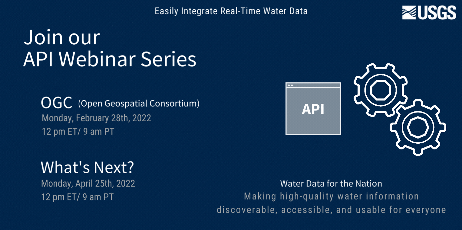
🙌 At the United States Geological Survey, we’re making high-quality water information discoverable, accessible, and usable for everyone.
Water data should be usable 🦾! Our modernized APIs provide a way for you to display our water data in the format that works best for you. Learn more about how & why to use USGS modernized APIs to integrate our water data in your applications.
In this API webinar series, we’ll touch on what USGS water data is, then we’ll discuss the API formats that have been used in the past and why the new API formats are better for you.
Upcoming Webinars in API Series
| Title | Date | Time |
|---|---|---|
| OGC-Features | Monday, February 28th, 2022 | 12 pm ET / 9 am PT |
| OGC-Processes | Monday, April 25th, 2022 | 12 pm ET / 9 am PT |
❔ What is the OGC-Features Webinar?
In this webinar on our Open Geospatial Consortium (OGC) API, we’ll give you a brief background on APIs, then we’ll dive into a live demo of our OGC API-Features. Check out the features of OGC.
🕛 When is the OGC-Features Webinar?
On Monday, February 28th, 2022 at 12 pm ET/ 9 am PT.
👩💻 Who is the OGC-Features Webinar For?
Programmers interested in improving their workflow with USGS water data
Anyone who wants to learn more about the power of APIs!
📆 How Can I Register/ Sign Up / Add to My Calendar?
Conveniently add this event to your calendar by visting the event on Eventbrite. You do not have to provide any personal information, and you do not have to register for the event on Eventbrite in order to attend (we’ve provided this option because many users requested a way to register for the event so they could get automatic reminders).
We will be providing a new way to register for events soon!
📞 Where’s the link to join the live call?
Join the Teams Live event at 12 pm ET/ 9 am PT on Monday, February 28th, 2022!
OGC API - Features Example
✍ Here is an example Leaflet webmap that is making a live call to the USGS Implementation of OGC API - Features, and below it is the minimal code needed to build your own map! We will talk in more detail about the structure of the USGS implementation of OGC API - Features during the seminar.
Here is the same code in a single html view that you can edit in any text editor.
<html>
<head>
<title>Stream gages with real time data in Wisconsin</title>
<meta charset="utf-8" />
<meta name="viewport" content="width=device-width, initial-scale=1.0">
<link rel="stylesheet" href="https://unpkg.com/leaflet@1.7.1/dist/leaflet.css" integrity="sha512-xodZBNTC5n17Xt2atTPuE1HxjVMSvLVW9ocqUKLsCC5CXdbqCmblAshOMAS6/keqq/sMZMZ19scR4PsZChSR7A==" crossorigin=""/>
<script src="https://unpkg.com/leaflet@1.7.1/dist/leaflet.js" integrity="sha512-XQoYMqMTK8LvdxXYG3nZ448hOEQiglfqkJs1NOQV44cWnUrBc8PkAOcXy20w0vlaXaVUearIOBhiXZ5V3ynxwA==" crossorigin=""></script>
<style>
html, body {
height: 100%;
margin: 0;
}
#map {
width: 100%;
height: 100%;
}
</style>
</head>
<body>
<div id='map'></div>
<script>
var map = L.map("map").setView([45, -90], 6);
L.tileLayer("https://{s}.tile.openstreetmap.org/{z}/{x}/{y}.png", {
attribution:
'Map data © <a href="https://www.openstreetmap.org/copyright">OpenStreetMap</a> contributors, '
}).addTo(map);
(async () => {
const monitoringLocations = await fetch(
"https://labs.waterdata.usgs.gov/api/observations/collections/RTS/items?stateFIPS=US%3A55&monitoringLocationType=Stream&active=true&f=json&limit=1000",
{}
).then((response) => response.json());
L.geoJSON(monitoringLocations, {
pointToLayer: function (feature, latlng) {
return L.marker(latlng, {});
},
onEachFeature: onEachFeature
}).addTo(map);
})();
function onEachFeature(feature, layer) {
var popupContent =
"<a href='" +
feature.properties.monitoringLocationUrl +
"' target='_blank'>" +
feature.properties.monitoringLocationName +
"</a>";
if (feature.properties && feature.properties.popupContent) {
popupContent += feature.properties.popupContent;
}
layer.bindPopup(popupContent);
}
</script>
</body>
</html>
Resources
📚Resources mentioned during the webinar- more to come in this section after the webinar!
- Links dropped into the chat
- Catch the recording of the SensorThings webinar here and try out SensorThings here.
- Check out our WDFN Users blog series
- Learn more about OGCAPI
- Check out our blog post on all our major web APIs
- Do you want to be a part of our agile development process? Email us if you would like to be a usability tester: [wdfn_usabilitytesting@usgs.gov] with the subject: API Usability Testing
- Additional OGC API Features Clients and Examples from the maintainers of the standard.
- OGC API - Processes
Categories:
Related Posts
OGC-API-Processes | API Webinar | Apr 25
March 3, 2022
Join our next API webinar about the NLDI and OGC-API-Processes on 4/25/2022! ❔ What is the NLDI and OGC-API-Processes Webinar? In this webinar on our Network Linked Data Index and Open Geospatial Consortium API (OGC-API), we’ll give you a brief background on APIs in general, then Dave Blodgett will give a live demo of the Network Linked Data Index API and associated OGC-API-Processing algorithms to retrieve precise drainage basins and cross sections at specific network locations.
SensorThings | API Webinar | Jan 31
January 27, 2022
Updated March 3rd, 2022 🎥 Webinar Recording Watch the video below to view the recorded webinar or visit this link. ❔ What is the Application Programming Interface (API) Series?
Next Generation Update Webinar | Apr 11
March 23, 2022
Updated May 9th, 2022 🔑 Key take-aways, post-webinar During this webinar, we updated users on our anticipated timeline for release of new features on our Monitoring Location Pages.
Redirecting the Next Generation Monitoring Location Pages
October 14, 2022
During the week of October 17th, many links to legacy real-time pages will be redirected to the Next Generation monitoring location pages. This means that bookmarked links to the legacy real-time pages will be redirected automatically to the NextGen monitoring location pages.
Transition to NextGen WaterAlert NOW
August 22, 2022
The transition opens today, August 22nd, 2022 and will close on September 30th, 2022. Date What Will Happen August 2022 Next Generation WaterAlert is available August 22nd, 2022 Transition period opens September 30th, 2022 Transition period closes October 1st, 2022 Legacy WaterAlert is Decomissioned 📩 Check your email!