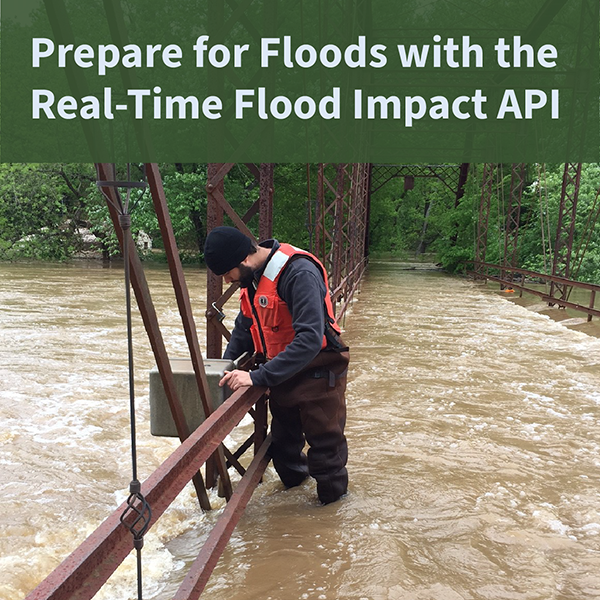
The USGS Real-Time Flood Impact (RT-FI) API service helps communities protect lives and property by providing flood risk context to widely-available USGS streamgage height measurements.
Official websites use .gov
A .gov website belongs to an official government organization in the
United States.
Secure .gov websites use HTTPS
A lock (
) or https:// means you’ve safely connected to the .gov website. Share
sensitive information only on official, secure websites.
The USGS Real-Time Flood Impact (RT-FI) API service helps communities protect lives and property by providing flood risk context to widely-available USGS streamgage height measurements.
hyswap is an open-source Python package that is designed to enable cooperators, stakeholders and the public to calculate summary hydrologic statistics and create maps, tables and visualizations for critical decision-making. Access the package at https://github.com/DOI-USGS/hyswap .
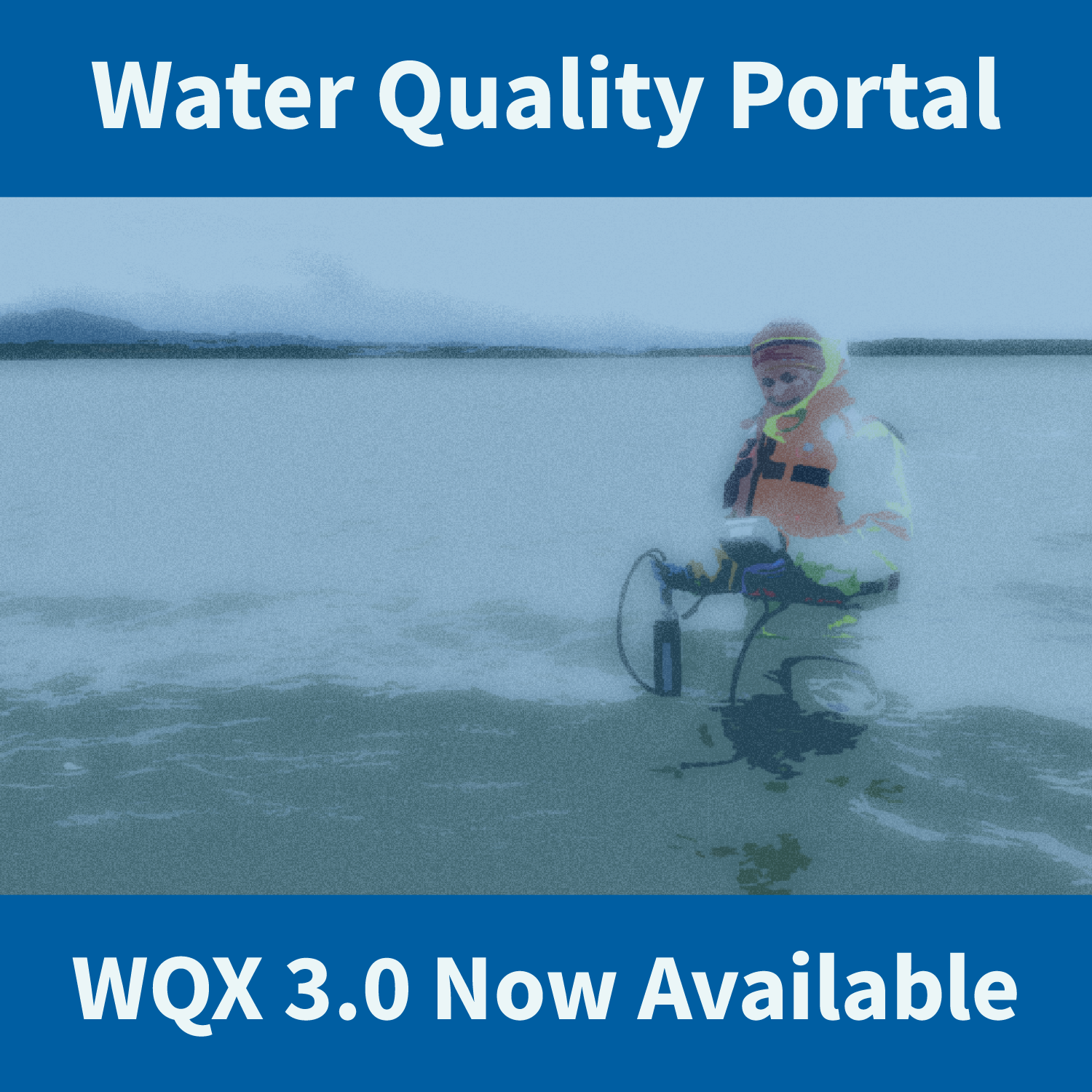
WQX3.0 data are available through the Water Quality Portal. This updated version of the schema includes new elements and new profiles with updated column names.

Update on the Network Linked Data Index processing capabilities using OGC API Process
Update on the Network Linked Data Index and how it relates to geoconnex.us
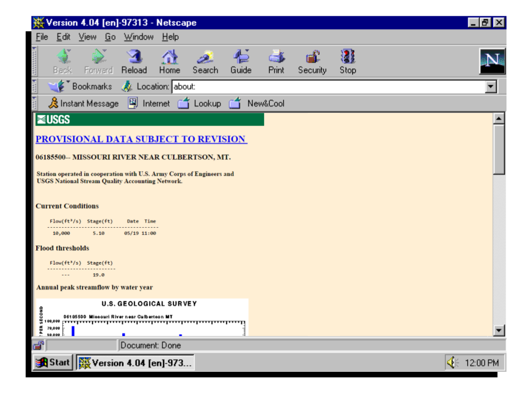
A look back at the beginnings of presenting water data on the web, and a peak at what the USGS is going to be doing in the next 25 years.