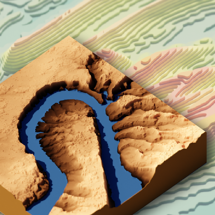
Reproducible workflows that provide the data and tools for you to get started making your own 3D graphics of topographic, satellite, and water data

Reproducible workflows that provide the data and tools for you to get started making your own 3D graphics of topographic, satellite, and water data
Add assertion tests to your functions to ensure assumptions are met and errors are helpful.
Improve your functions with helpful dataframe evaluation patterns.
Iterate your R code using the map() function from the purrr package.
Write functions in R that run better and are easier to understand.
Learn the ropes building your own functions in R using water data examples.