
The Water Quality Portal (WQP) will soon be modernized to better serve users. This vital application will be supported for years to come.
Official websites use .gov
A .gov website belongs to an official government organization in the
United States.
Secure .gov websites use HTTPS
A lock (
) or https:// means you’ve safely connected to the .gov website. Share
sensitive information only on official, secure websites.
The Water Quality Portal (WQP) will soon be modernized to better serve users. This vital application will be supported for years to come.
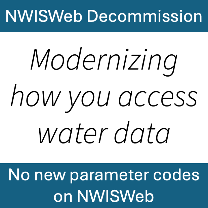
Data for new parameter codes (released after June 2026) will only be available through Water Data for the Nation services. Data currently available through legacy NWISWeb applications will not be affected.
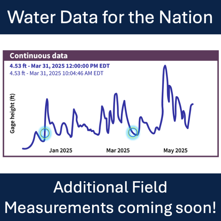
Manual readings for additional water data parameters will be available beginning July 1st, 2026.
A new endpoint for peak flows is now available, queries now have additional metadata fields for filtering, and a new UI theme has been released for HTML responses.
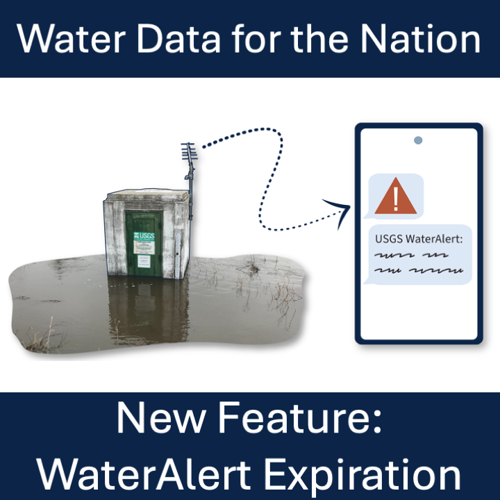
We’re adding expiration to alert subscriptions to keep the WaterAlert system performing well and reducing costs.
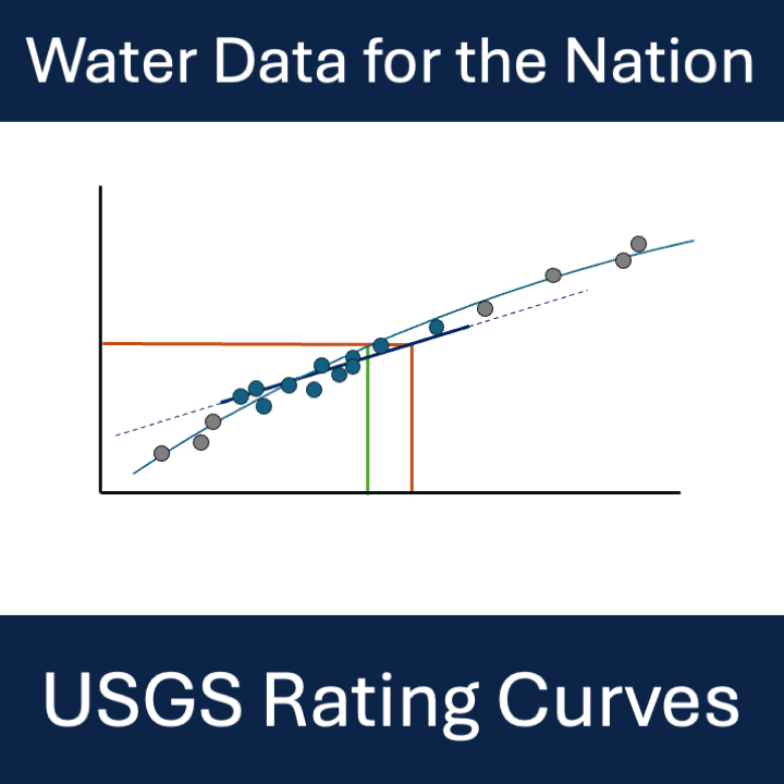
A new STAC API provides access to rating curve files. This API will replace the ratings depot in winter 2026.
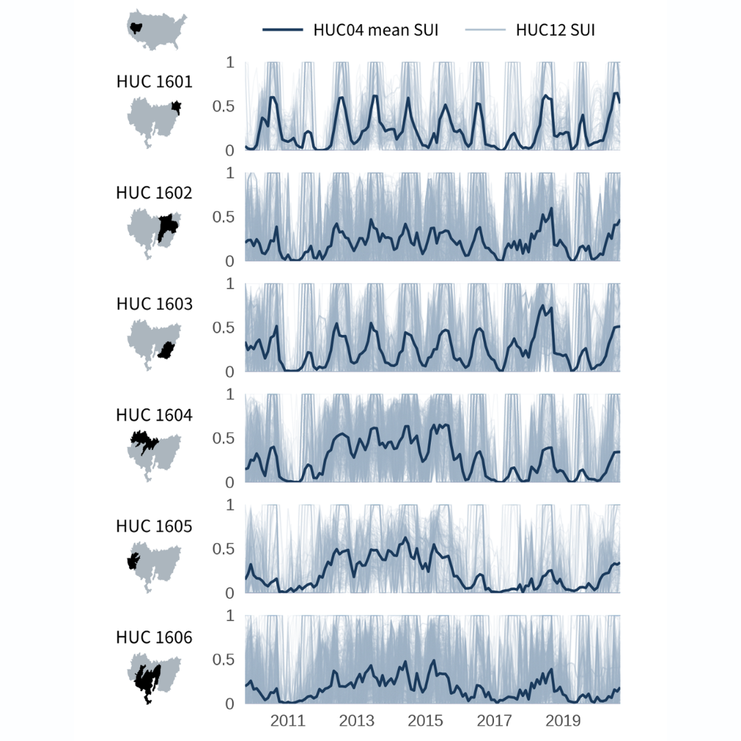
The National Water Availability Assessment Data Companion (NWDC) provides nationally-consistent modeled water data, including the surface water supply and use index (SUI), which is an indication of water limitation across the lower 48 United States. In this blog, we demonstrate how to programmatically download data from the Data Companion using R and API web services, process the data for mapping, and create customized data visualizations.
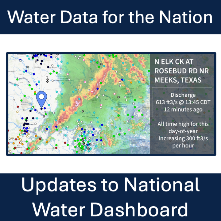
New features on the National Water Dashboard include a new experience when clicking a site, Data of Interest to customize your view, and usability updates for your Area-of-Interest.
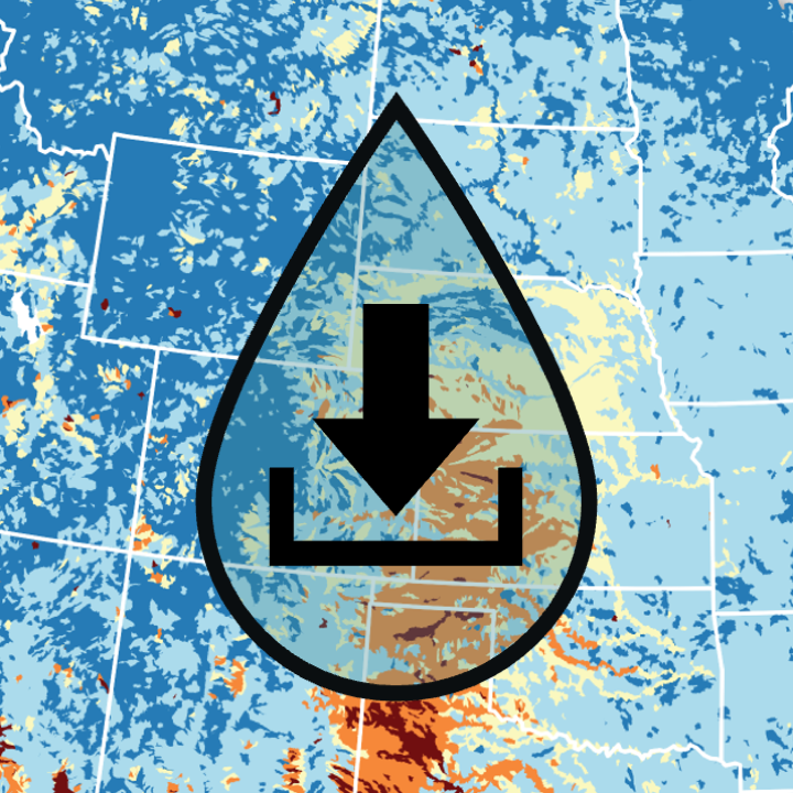
The National Water Availability Assessment Data Companion provides a centralized source for national water availability data, including quantity, quality, and use across approximately 80,000 sub-watersheds nationwide.
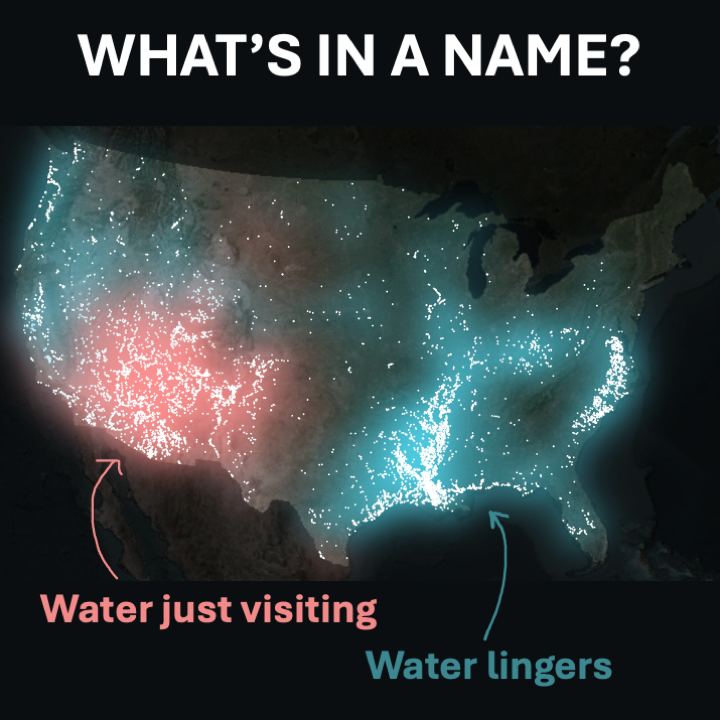
Building firefly-style maps in R to see patterns in stream names across United States.