


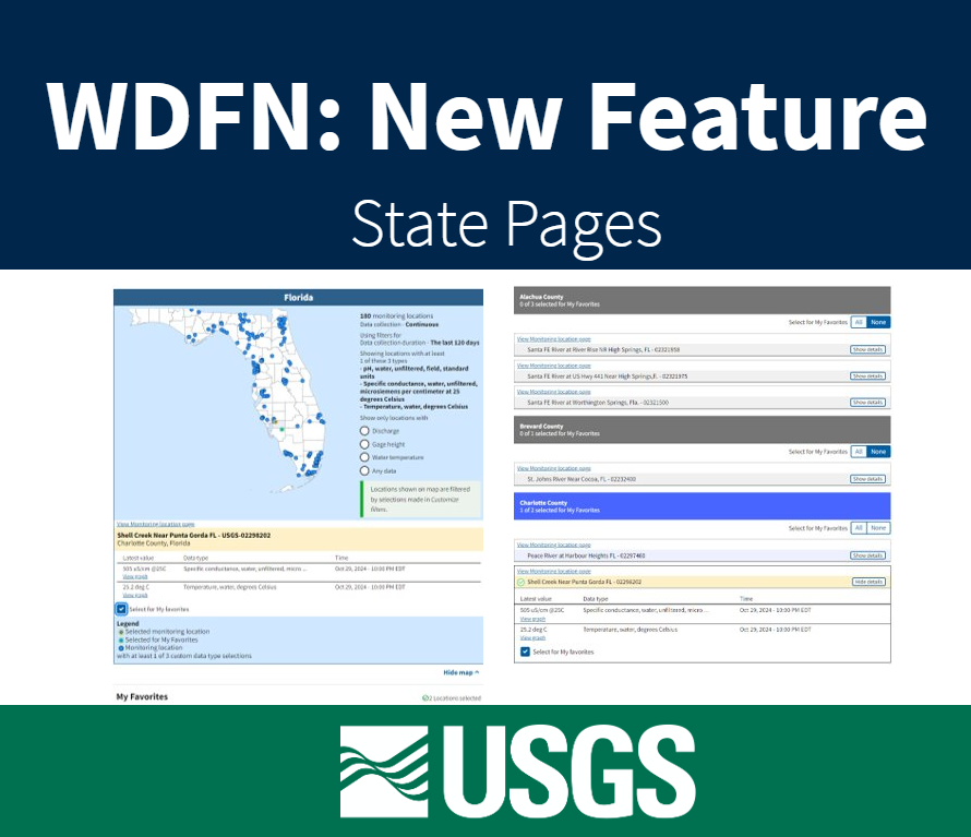
Feature to see current water conditions from all monitoring locations in a state that collect continuous data.
Official websites use .gov
A .gov website belongs to an official government organization in the
United States.
Secure .gov websites use HTTPS
A lock (
) or https:// means you’ve safely connected to the .gov website. Share
sensitive information only on official, secure websites.

Feature to see current water conditions from all monitoring locations in a state that collect continuous data.
This blog describes a mapping file available to users to ease the transition to the WQX version 3.0 format. The spreadsheet provides high-level mapping of data fields in the legacy NWIS format to WQX fields.
WaterServices databases are receiving a major version update to meet security and dependency requirements.
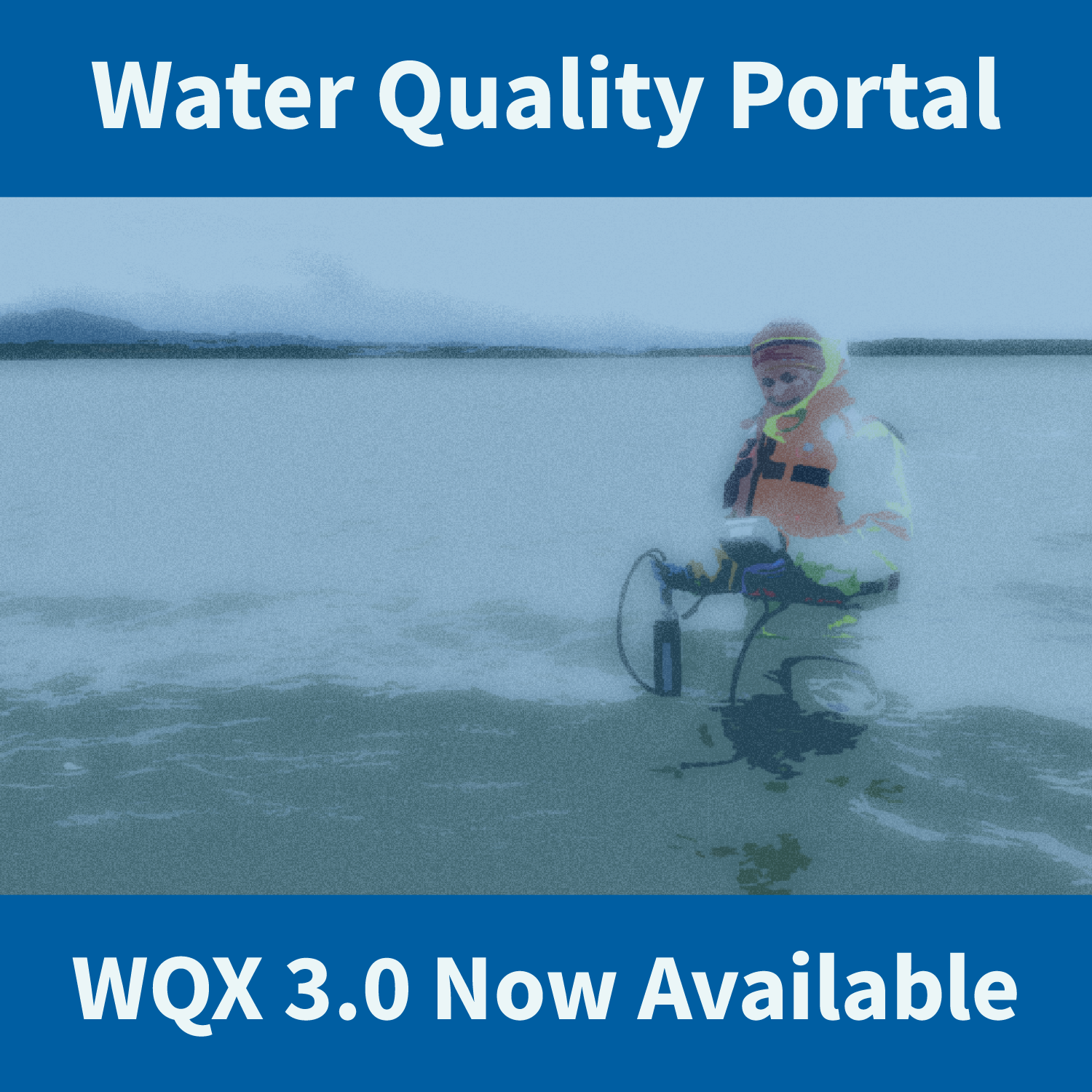
WQX3.0 data are available through the Water Quality Portal. This updated version of the schema includes new elements and new profiles with updated column names.
USGS Water Data for the Nation products have many users. Advanced Check Status users desire “at a glance” information that is more complex than the Check Status user. Read on to find out more about this unique group of Check Status users.
The USGS just released new ways to access water quality and sample data in a recently expanded WQX data format.
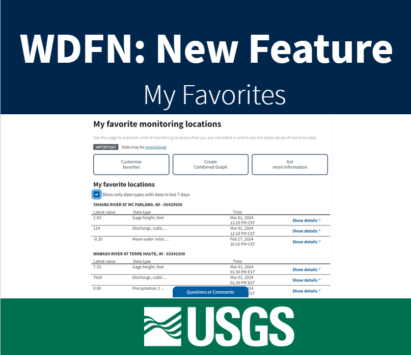
Feature to maintain a list of monitoring locations you are interested in and to see the latest values of real-time data.
The USGS is expanding its implementation of the Water Quality Exchange (WQX) standard for delivering water quality and sample data.
USGS is improving the way that sample data are stored and served to the public. These changes will affect our back-end data management systems, web services, application programming interfaces (APIs), computational tools, and user interfaces for accessing data.
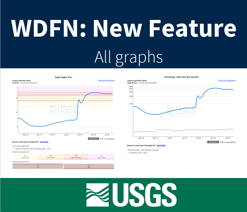
Feature to see a series of graphs of all current sensor data collected at a single location is available now.