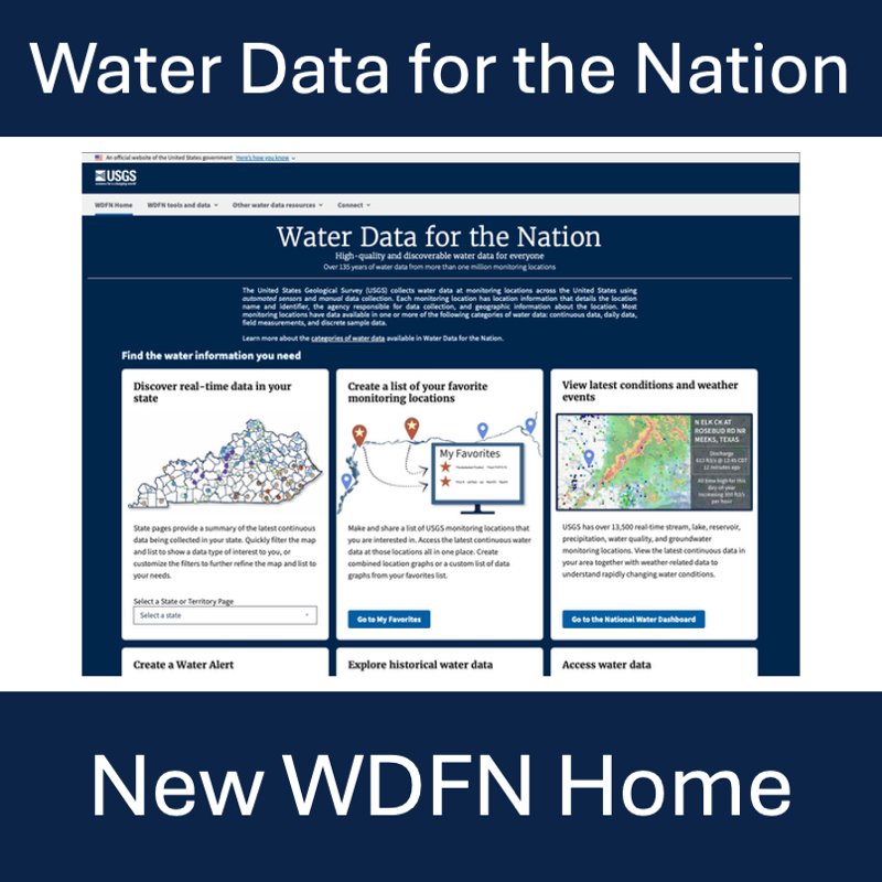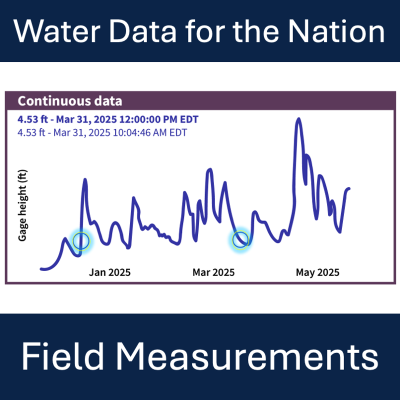
Where to find and download field measurements in Water Data for the Nation
Official websites use .gov
A .gov website belongs to an official government organization in the
United States.
Secure .gov websites use HTTPS
A lock (
) or https:// means you’ve safely connected to the .gov website. Share
sensitive information only on official, secure websites.
Where to find and download field measurements in Water Data for the Nation
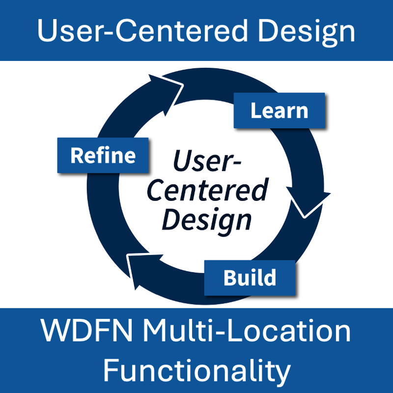
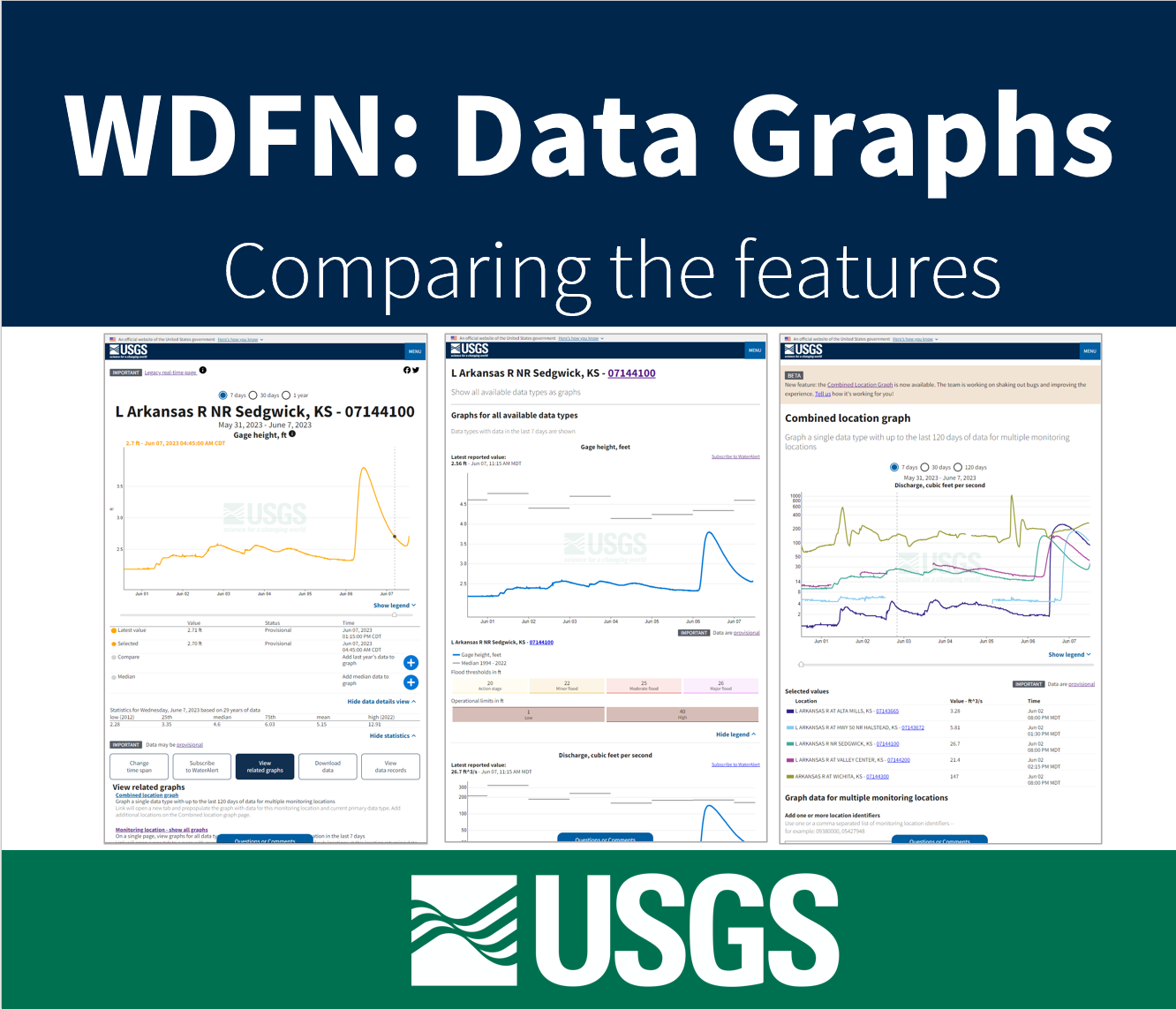
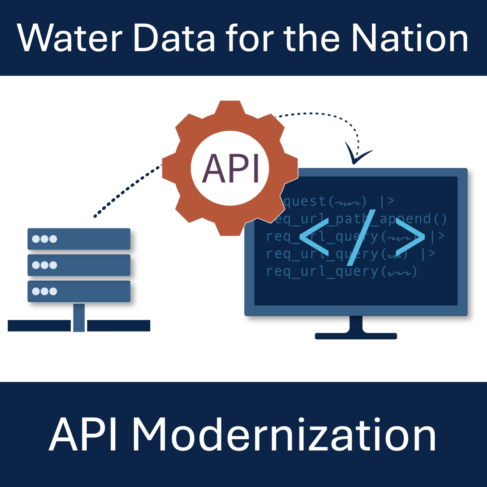
This blog post demonstrates how we used the core principles of user-centered design, “learn,” “build,” and “refine” to modernize Water Data for the Nation (WDFN)
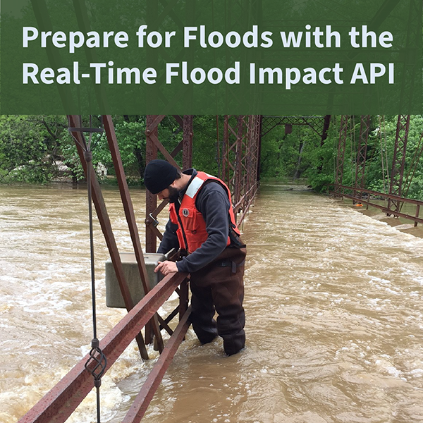
The USGS Real-Time Flood Impact (RT-FI) API service helps communities protect lives and property by providing flood risk context to widely-available USGS streamgage height measurements.
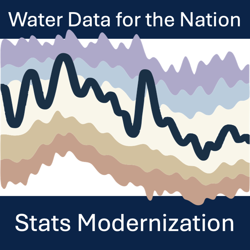
Modernization and decommission of statistics delivery for USGS Water Data for the Nation
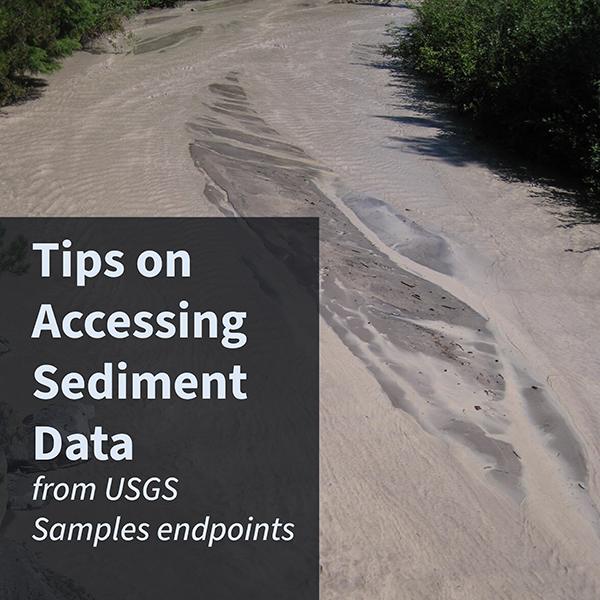
Sediment data are collected on rivers and streams throughout the nation. These data can be accessed through the USGS Samples endpoints.
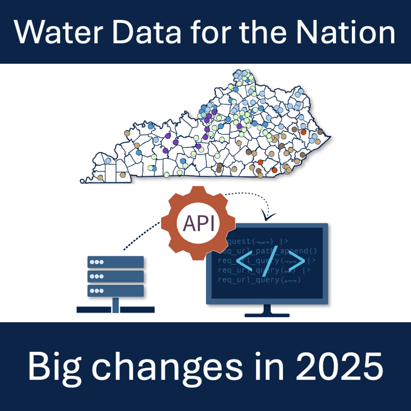
Summary of NWISWeb, WaterServices, and WaterWatch decommissions and modernization of APIs and UI for water data delivery in 2025
What to expect from modernized replacements to the WaterServices family of APIs.
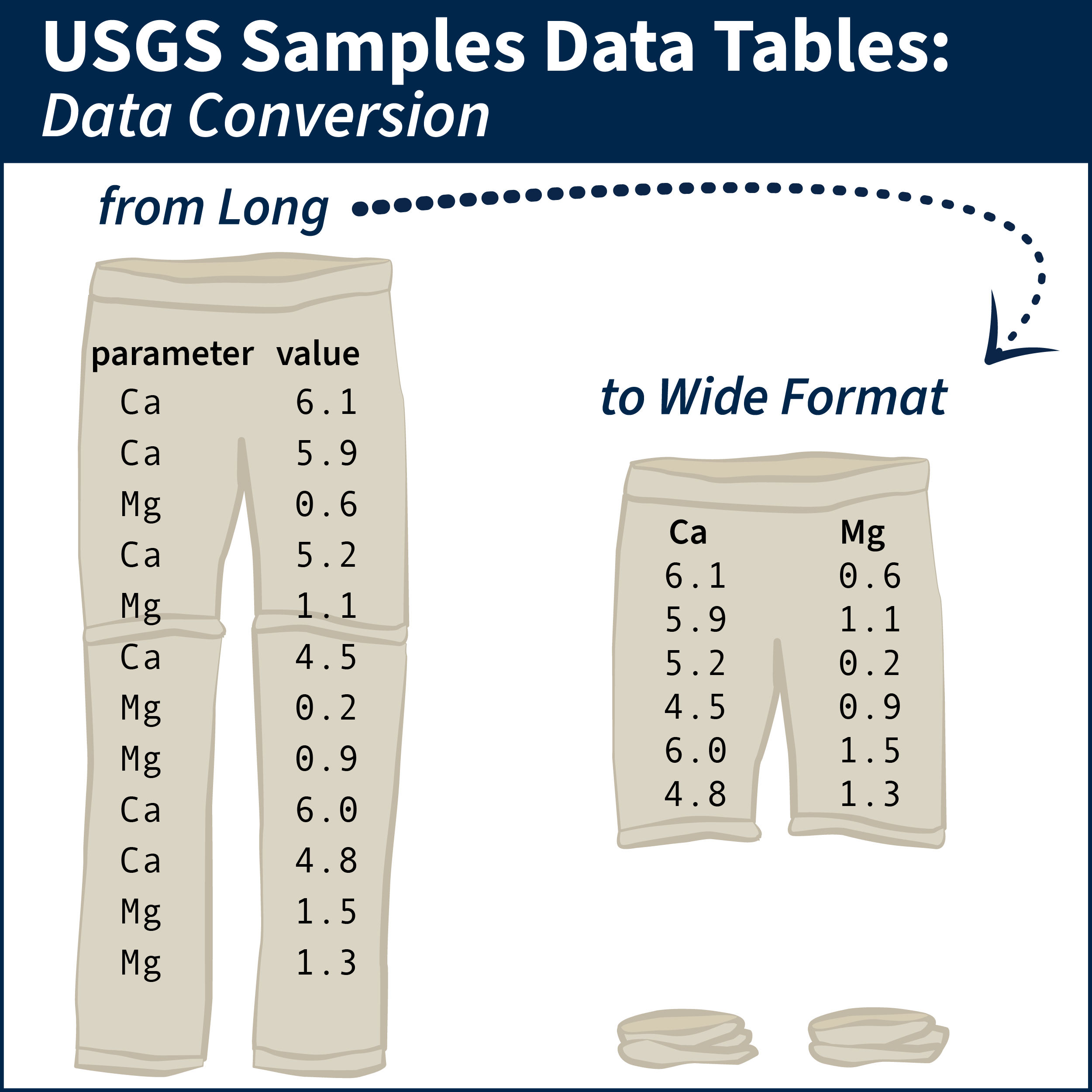
Tips and example R scripts for converting long-formatted data into wide tabular format