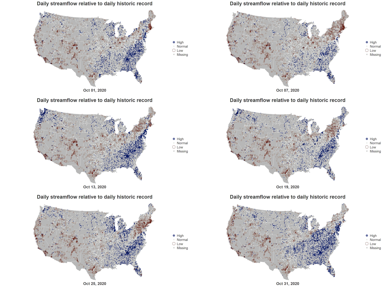
Use R to generate a video and gif similar to the Vizlab animation series, U.S. River Conditions.

Use R to generate a video and gif similar to the Vizlab animation series, U.S. River Conditions.

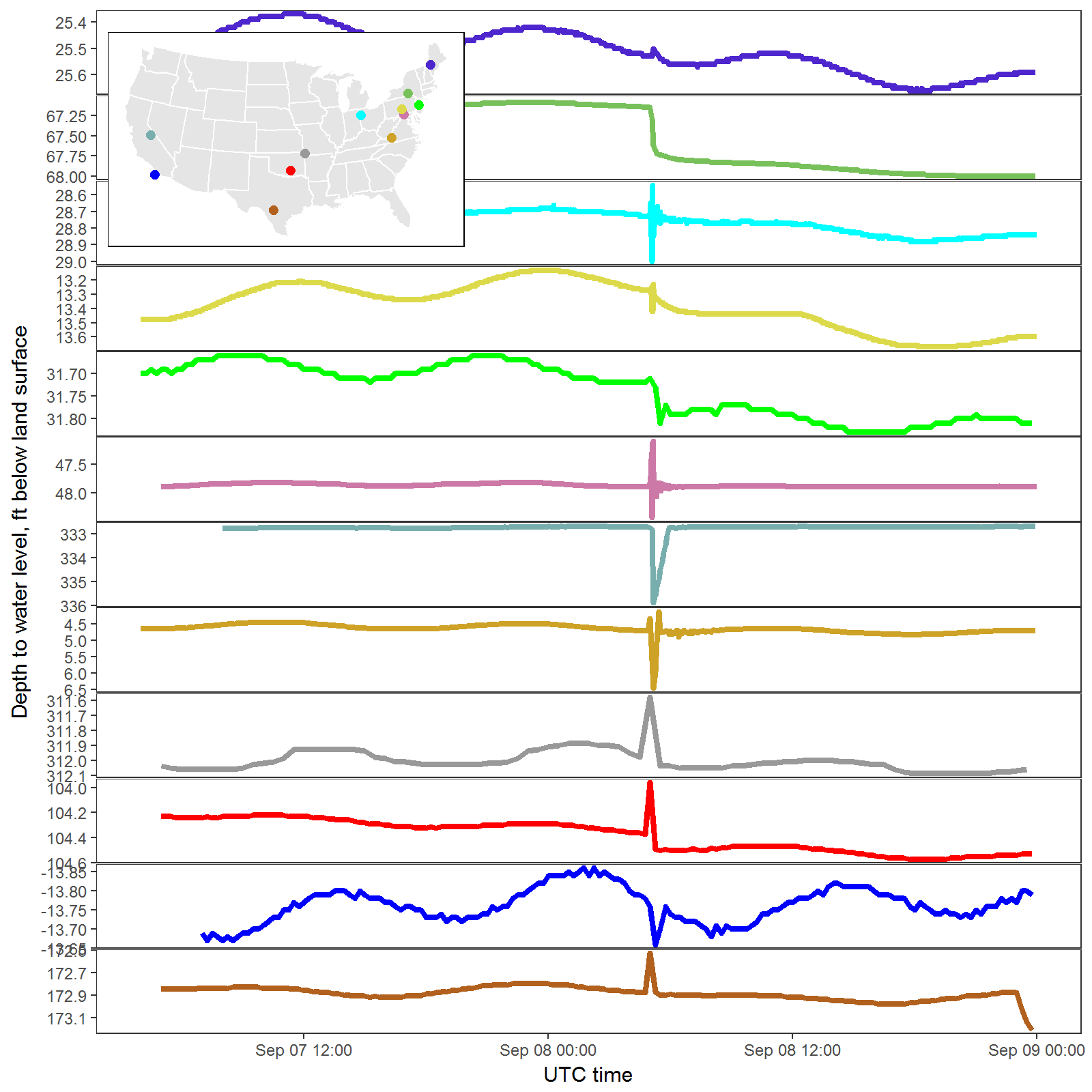
Using ggplot2 to inspect water levels affected by earthquake.

Integrate The National Map services within your own interactive web map using Leaflet for R.

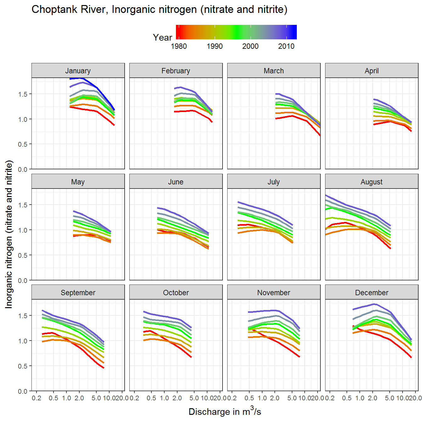
Using the R packages, ggplot and EGRET, a new function plotFlowConc shows a new way to visualize the changes between flow and concentration.