In Fall* 2022, the modernized, Next Generation WaterAlert will go live. Starting in summer* 2022, you will be able to transition your legacy alerts to the NextGen WaterAlert. In this blog post, learn about what is WaterAlert, why we’re transitioning, and how easy we’ve made this transition for you.
Keywords: water
Learn about DevOps and Usabilty Specialist positions that are opening in the USGS Water Mission Area
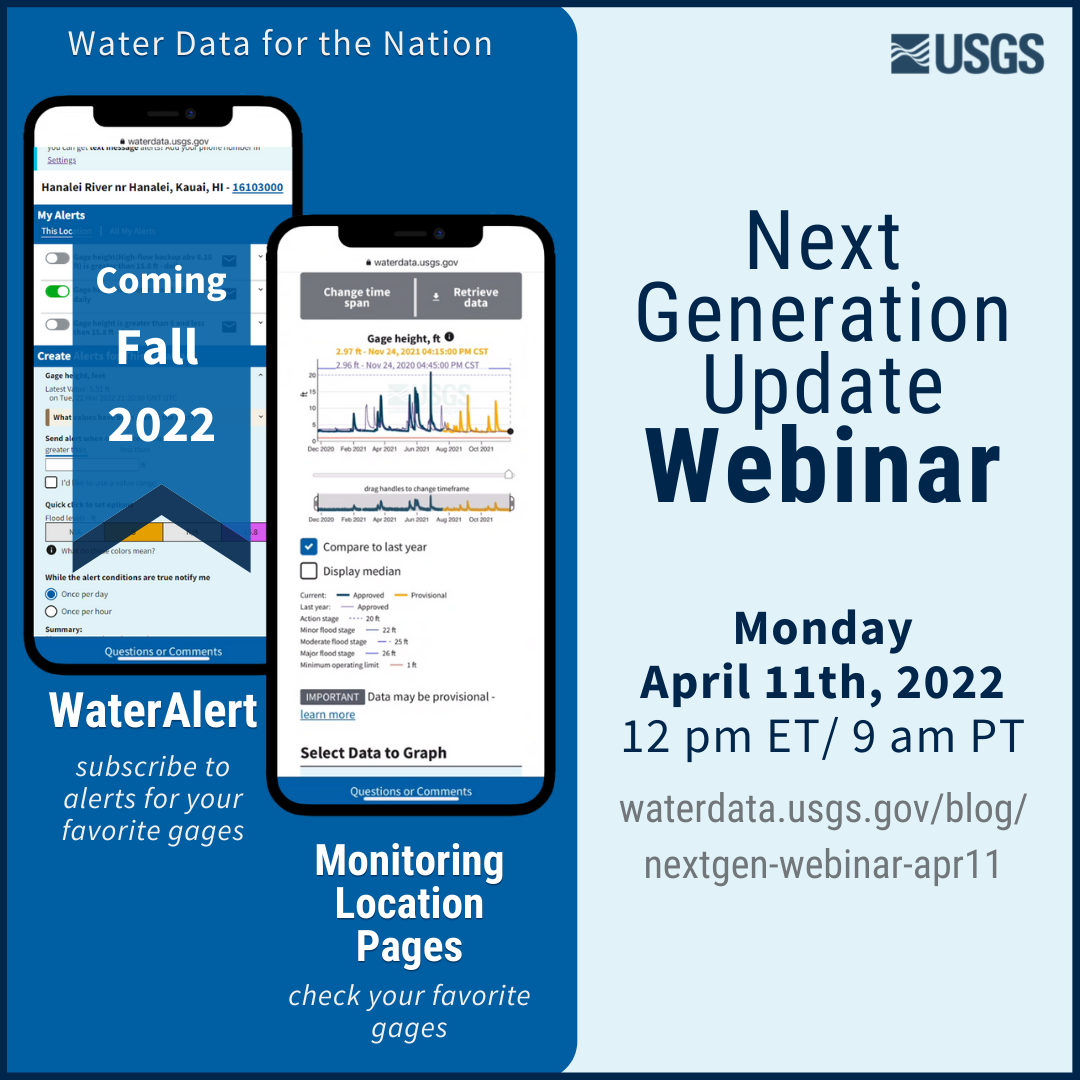
On April 11th, 2022, join our public webinar where we’ll provide an update on the Next Generation Monitoring Location Pages and give a live demo of the Next Generation WaterAlert. Wondering what these products are? Read on…
On April 25th, 2022, join our webinar to learn how to use USGS’s Network Linked Data Index and OGC-API Processes Application Programming Interfaces to serve your unique water data display needs.
On February 28th, 2022, join our webinar to learn how to use USGS Application Programming Interfaces to serve your unique water data display needs.
On January 31st, 2022, join our webinar to learn how to use USGS Application Programming Interfaces to serve your unique water data display needs.
USGS has provided crucial water data online for decades, but the system is outdated, so we’re rebuilding a brand new, modernized system. We’re hosting a webinar to talk about the first release of this new system. Join us for our Teams Live Event on October 13, 2021 at 1 pm EDT/ 10 am PDT.
All your commonly asked questions about the modernization of NWISWeb’s real-time pages to WDFN’s Next Generation Monitoring Location pages.
Learn how to use WDFN’s Next Generation Monitoring Location Pages.
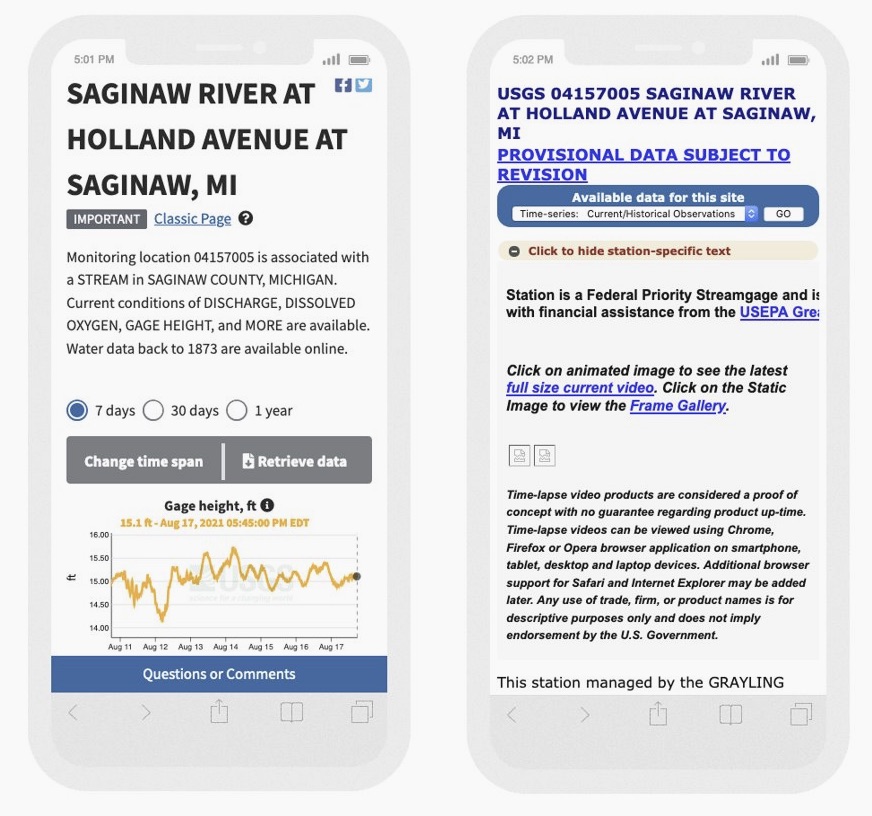
NWISWeb is our legacy water data delivery system. Over the next few years, Water Data for the Nation (WDFN) will slowly replace NWISWeb. We’re modernizing one room at a time, and we’ve started with the legacy real-time current conditions pages, now known as Next Generation Monitoring Location Pages.
Gage height is used as a default parameter for water availability at streamgages for better user context.
Water data can be masked to help explain gaps in water data availability.