Observations API Services on labs.waterdata.usgs.gov will be retired. Users should migrate to services on api.waterdata.usgs.gov instead.
Official websites use .gov
A .gov website belongs to an official government organization in the
United States.
Secure .gov websites use HTTPS
A lock (
) or https:// means you’ve safely connected to the .gov website. Share
sensitive information only on official, secure websites.

Observations API Services on labs.waterdata.usgs.gov will be retired. Users should migrate to services on api.waterdata.usgs.gov instead.

In order to alert automated users of WaterServices, we will intentionally slow down requests and perform two scheduled outages before permanently decommissioning the services in February 2027.
The new Water Data APIs provide programmatic pathways to accessing all USGS Water Data for the Nation (WDFN), providing a consistent interface for accessing all data from the National Water Information System.
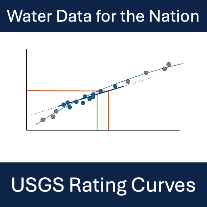
A new STAC API provides access to rating curve files. This API will replace the ratings depot in winter 2026.
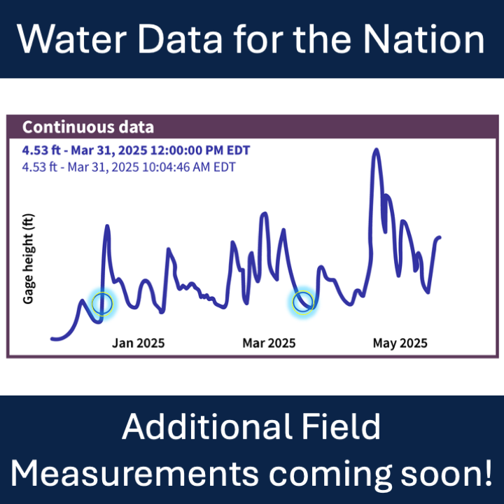
Manual readings for additional water data parameters will be available beginning July 1st, 2026.
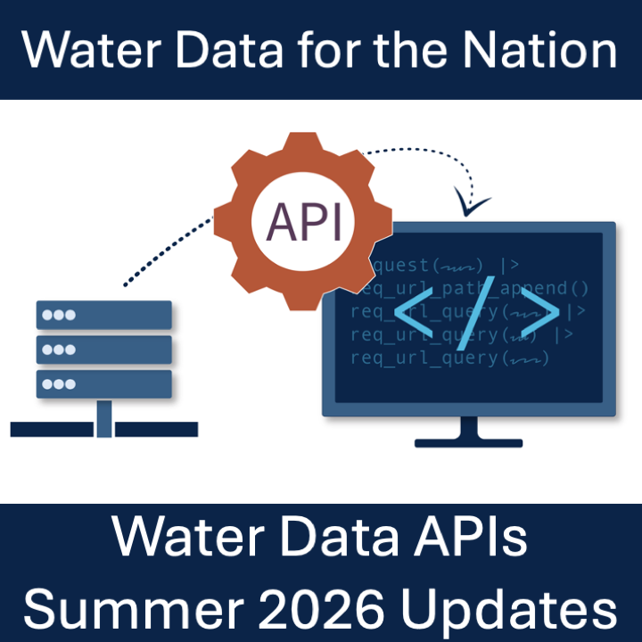
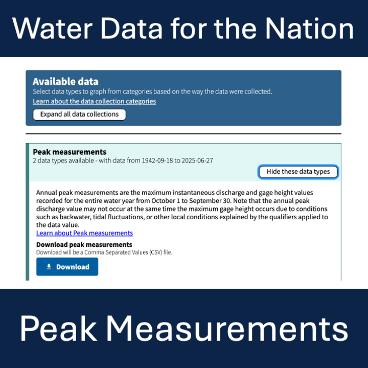
A new endpoint for peak flows is now available, queries now have additional metadata fields for filtering, and a new UI theme has been released for HTML responses.
The National Water Availability Assessment Data Companion provides a centralized source for national water availability data, including quantity, quality, and use across approximately 80,000 sub-watersheds nationwide.
We have released modernized Water Data APIs which will supersede the WaterServices family of APIs. Users will need to migrate their applications to use these new services in order to retain uninterrupted access to USGS water data going forward.
Metadata are crucial to interpreting and understanding USGS water data. With the modernization of WDFN, we are changing the way you access and explore USGS water data metadata.