


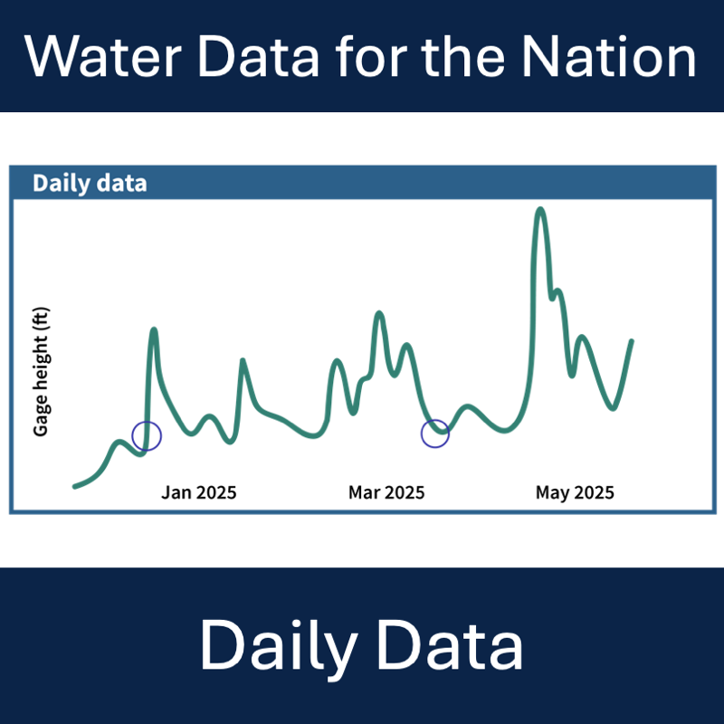
Where to find and download daily data in Water Data for the Nation
Official websites use .gov
A .gov website belongs to an official government organization in the
United States.
Secure .gov websites use HTTPS
A lock (
) or https:// means you’ve safely connected to the .gov website. Share
sensitive information only on official, secure websites.

Where to find and download daily data in Water Data for the Nation
We are releasing new, modernized Water Data APIs this year and are beginning the process to decommission legacy APIs. This blog discusses the decommissioning of the “gwlevels” and “SensorThings” APIs. The gwlevels API will be decommissioned beginning November 1st, 2025. The SensorThings service will be decommissioned on December 9th, 2025.
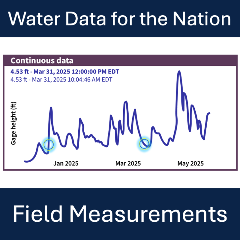
Where to find and download field measurements in Water Data for the Nation
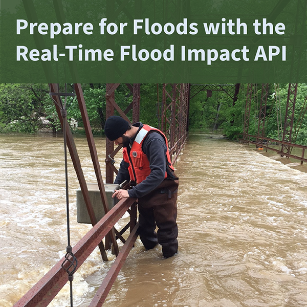
The USGS Real-Time Flood Impact (RT-FI) API service helps communities protect lives and property by providing flood risk context to widely-available USGS streamgage height measurements.
Modernization and decommission of statistics delivery for USGS Water Data for the Nation
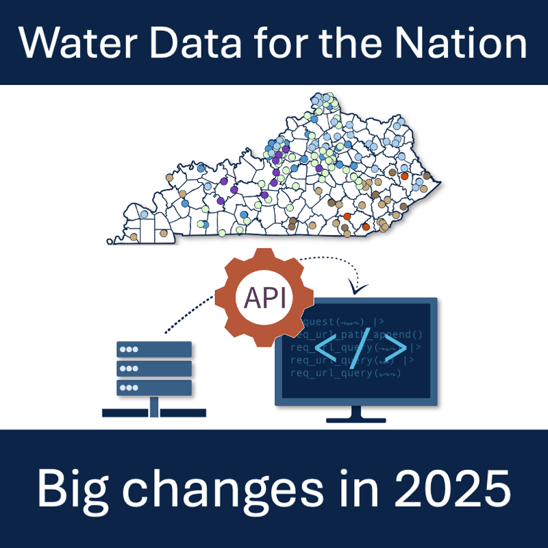
Summary of NWISWeb, WaterServices, and WaterWatch decommissions and modernization of APIs and UI for water data delivery
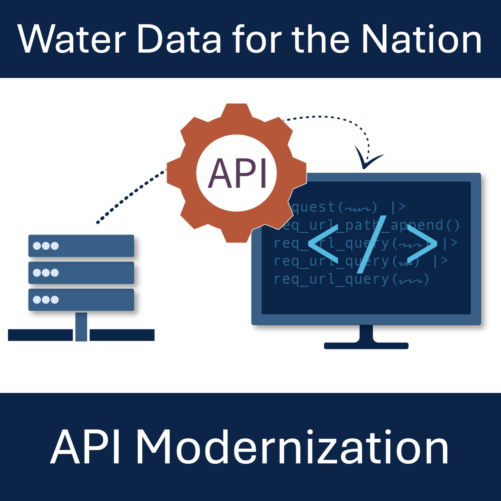
What to expect from modernized replacements to the WaterServices family of APIs.
WaterServices databases are receiving a major version update to meet security and dependency requirements.
A look into the current and coming soon features available in WDFN. Updated in 2025 to highlight progress and include links to new features

Update on the Network Linked Data Index (NLDI) processing capabilities using OGC API Process