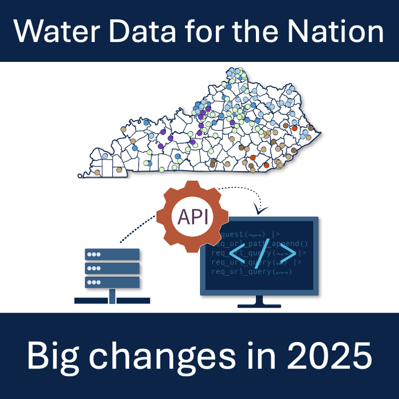
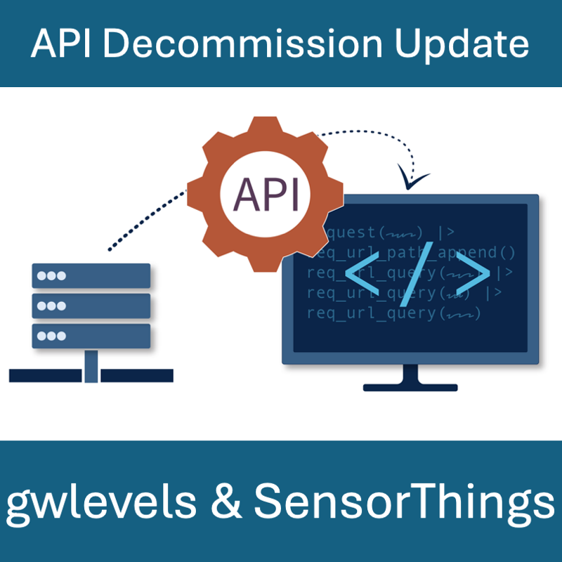
This blog post demonstrates how we used the core principles of user-centered design, “learn,” “build,” and “refine” to modernize Water Data for the Nation (WDFN)
Tag: Monitoring Location Pages
Modernization and decommission of statistics delivery for USGS Water Data for the Nation
Summary of NWISWeb, WaterServices, and WaterWatch decommissions and modernization of APIs and UI for water data delivery in 2025

This new feature is used to search and filter through data by locations and data collection categories in WDFN.

Details of NWISWeb Decommission Campaign 1 from October 2024 to February 2025

Summary of the NWISWeb webpage decommissions ongoing from October 2024 through February 2027

Feature to see current water conditions from all monitoring locations in a state that collect continuous data.

Feature to see a series of graphs of all current sensor data collected at a single location is available now.

Graphing data for 5 locations on a single graph now available on WDFN

