
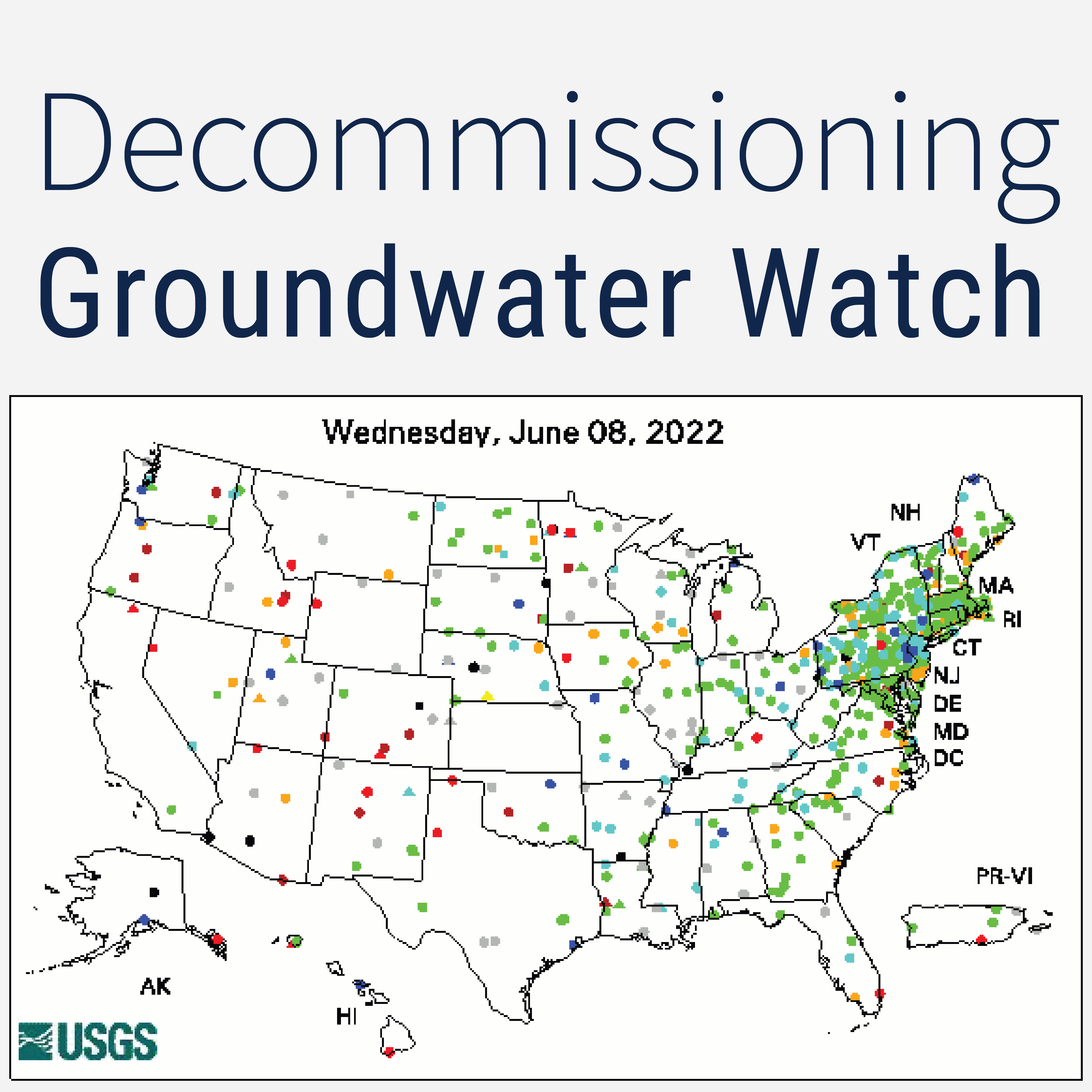
The legacy Groundwater Watch application is being decommissioned. This blog post explains where users can find similar functionality in other publicly available products.
Official websites use .gov
A .gov website belongs to an official government organization in the
United States.
Secure .gov websites use HTTPS
A lock (
) or https:// means you’ve safely connected to the .gov website. Share
sensitive information only on official, secure websites.
The legacy Groundwater Watch application is being decommissioned. This blog post explains where users can find similar functionality in other publicly available products.
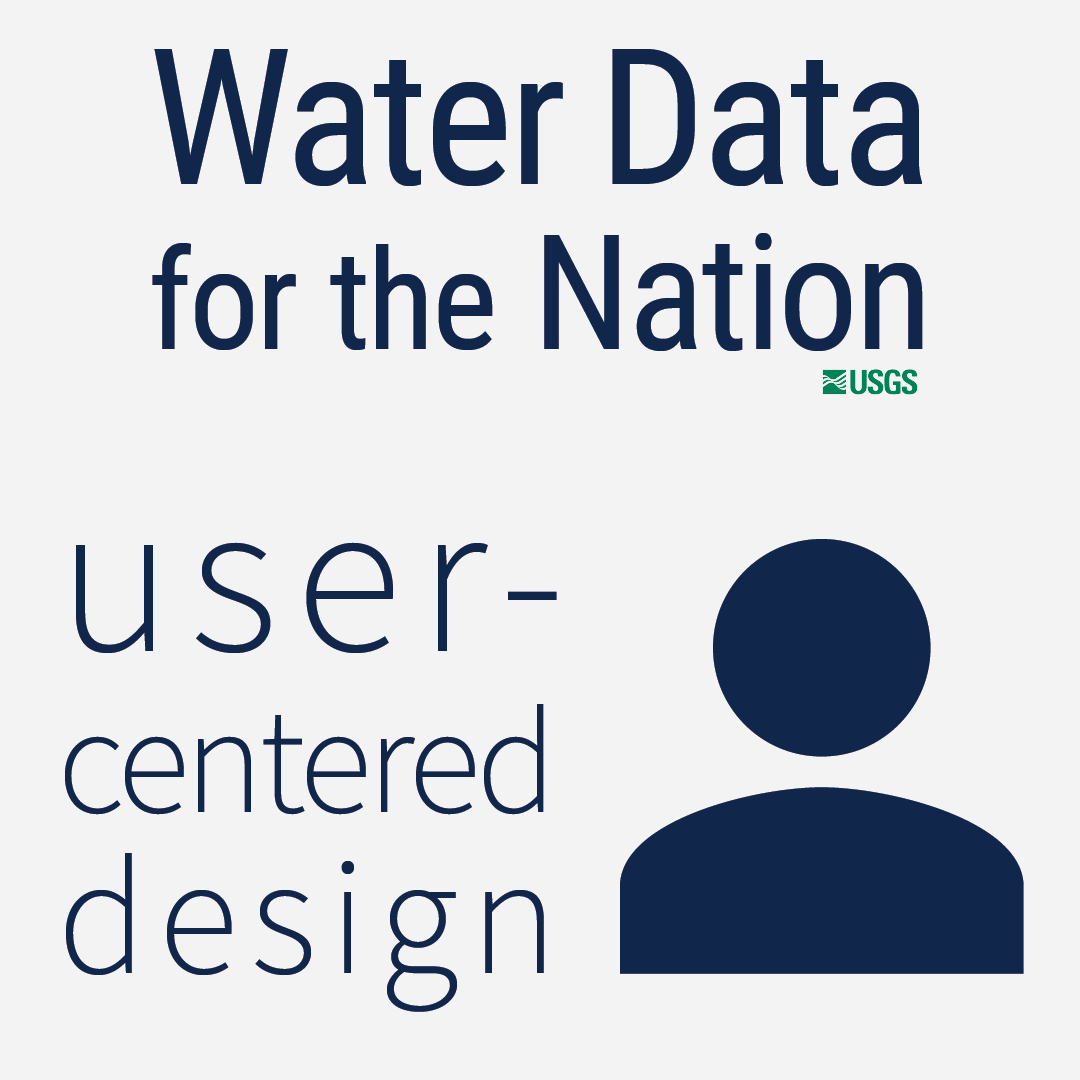
Have you ever heard of user-centered design? We put our users first in how we design, update, and implement our water data delivery products.
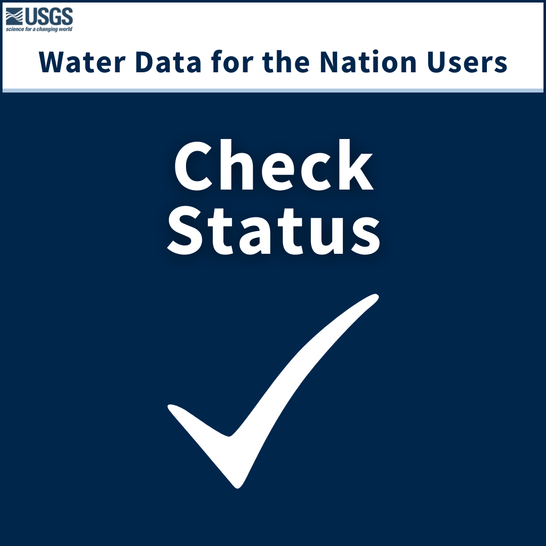
USGS Water Data for the Nation products have many users. Check Status users want to quickly check the status of water data, and in order to do this, they have specific needs. Check Status users have a few favorite USGS products they use; read on to find out what they are.
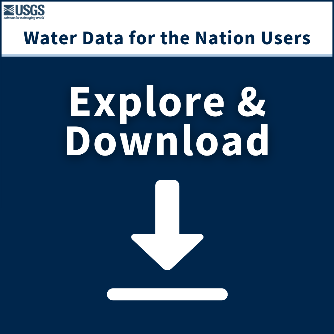
USGS Water Data for the Nation products have many users. Explore & Download users want to check out different sites and download data from some of them. They have a few favorite USGS products they use; read on to find out what they are…
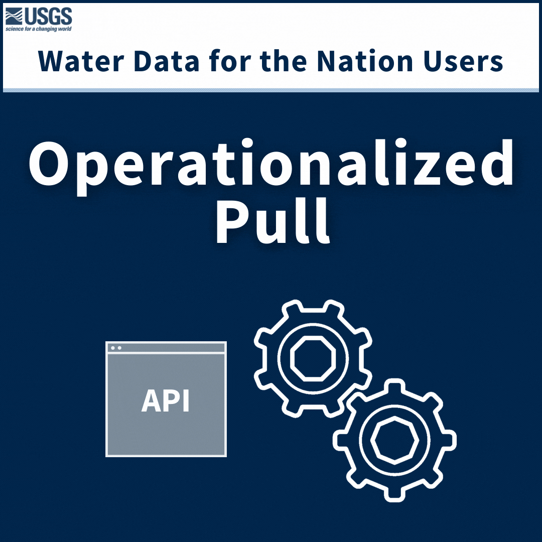
USGS Water Data for the Nation products have many users. Operationalized users access data through automated processes, and they primarily use our APIs. Want to know more about operationalized pull users and our APIs? Read on…
USGS Water Data products have many users. Are you one of our users? This post breaks down who uses USGS Water products and what data is available about those users.
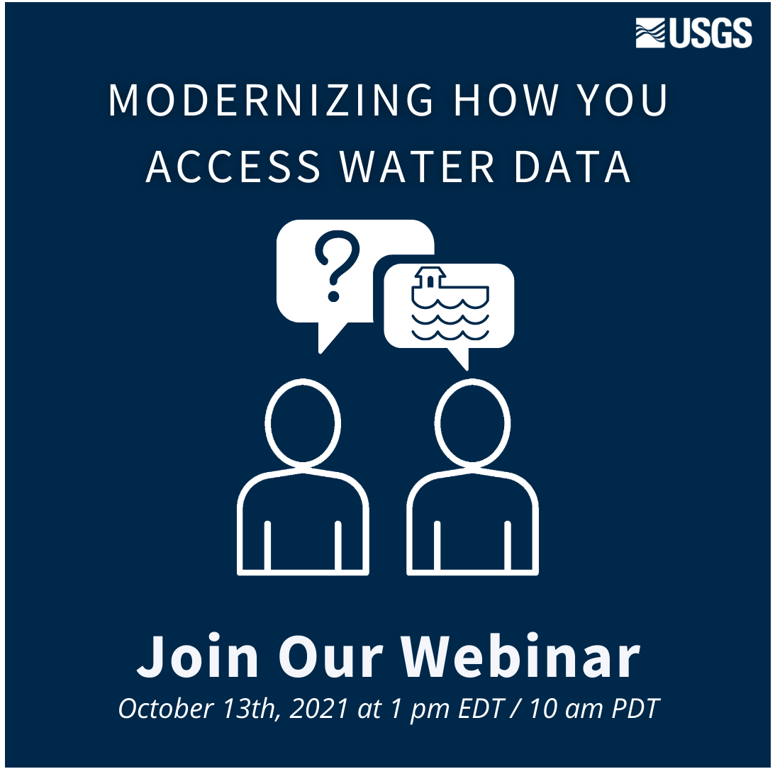
USGS has provided crucial water data online for decades, but the system is outdated, so we’re rebuilding a brand new, modernized system. We’re hosting a webinar to talk about the first release of this new system. Join us for our Teams Live Event on October 13, 2021 at 1 pm EDT/ 10 am PDT.
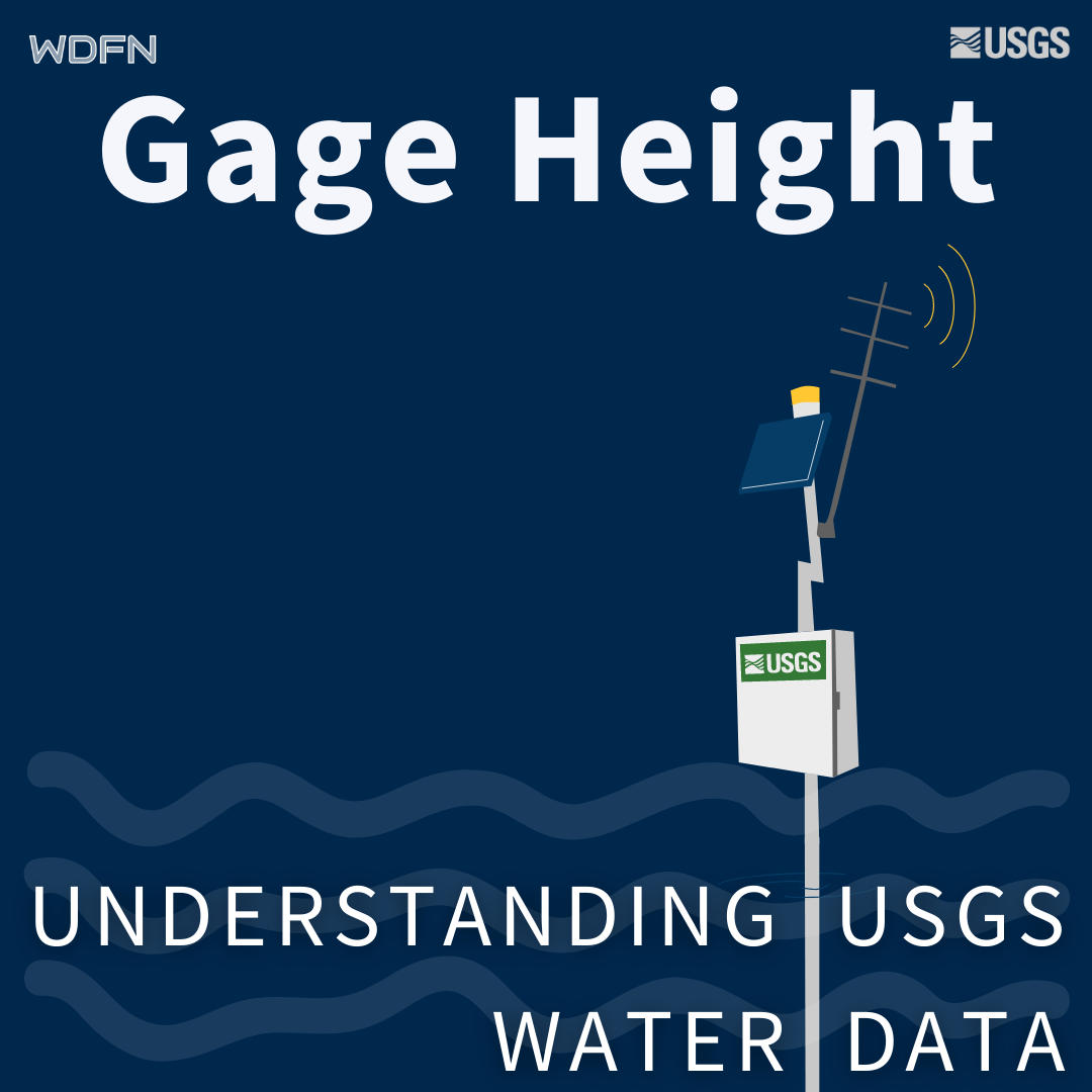
Gage height is used as a default parameter for water availability at streamgages for better user context.
Water data can be masked to help explain gaps in water data availability.