
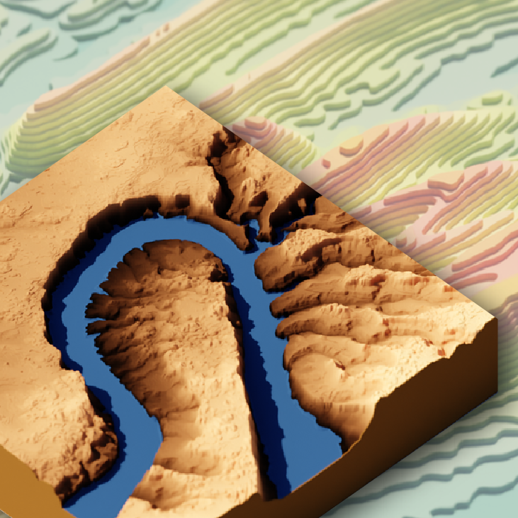
Reproducible workflows that provide the data and tools for you to get started making your own 3D graphics of topographic, satellite, and water data
Official websites use .gov
A .gov website belongs to an official government organization in the
United States.
Secure .gov websites use HTTPS
A lock (
) or https:// means you’ve safely connected to the .gov website. Share
sensitive information only on official, secure websites.
Reproducible workflows that provide the data and tools for you to get started making your own 3D graphics of topographic, satellite, and water data
hyswap is an open-source Python package that is designed to enable cooperators, stakeholders and the public to calculate summary hydrologic statistics and create maps, tables and visualizations for critical decision-making. Access the package at https://github.com/DOI-USGS/hyswap .