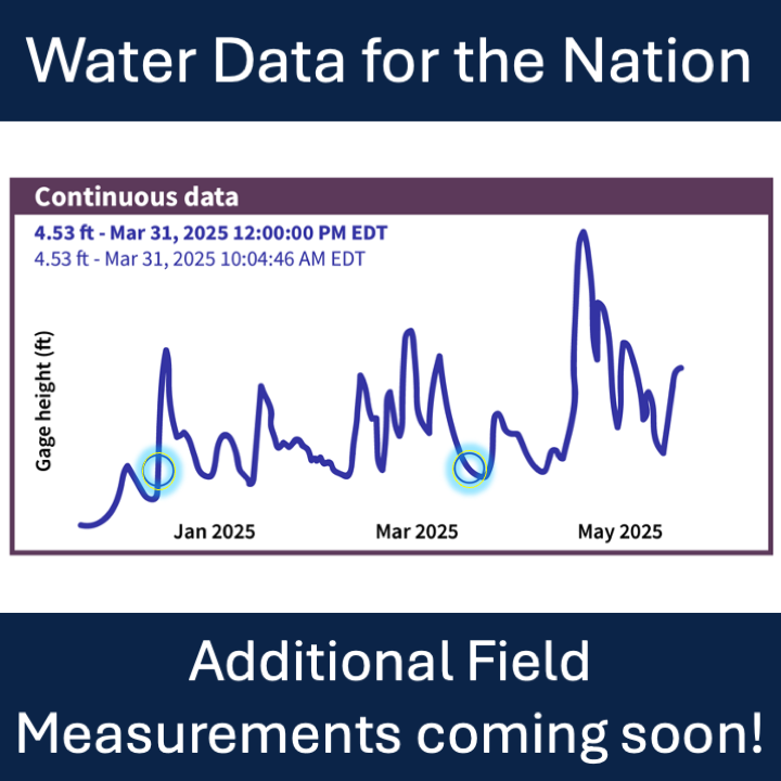
Manual readings for additional water data parameters will be available beginning July 1st, 2026.
Official websites use .gov
A .gov website belongs to an official government organization in the
United States.
Secure .gov websites use HTTPS
A lock (
) or https:// means you’ve safely connected to the .gov website. Share
sensitive information only on official, secure websites.
Manual readings for additional water data parameters will be available beginning July 1st, 2026.
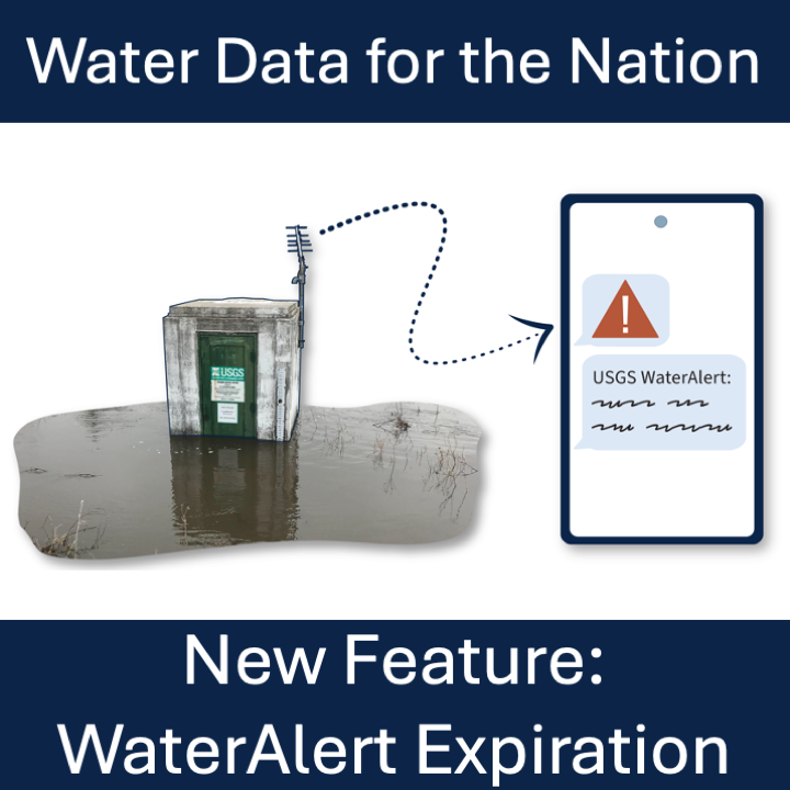
We’re adding expiration to alert subscriptions to keep the WaterAlert system performing well and reducing costs.
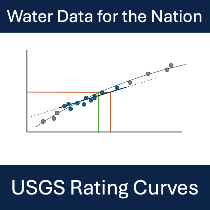
A new STAC API provides access to rating curve files. This API will replace the ratings depot in winter 2026.
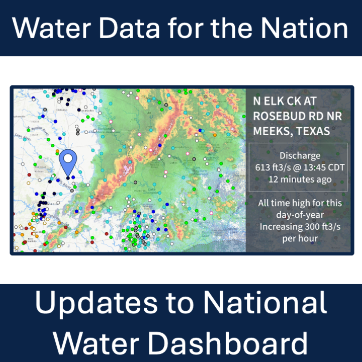
New features on the National Water Dashboard include a new experience when clicking a site, Data of Interest to customize your view, and usability updates for your Area-of-Interest.
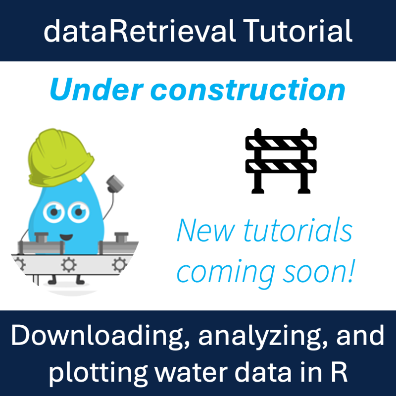
This is a basic dataRetrieval tutorial for USGS water data in R in which we highlight new functionality for dataRetrieval and the new Water Data APIs.
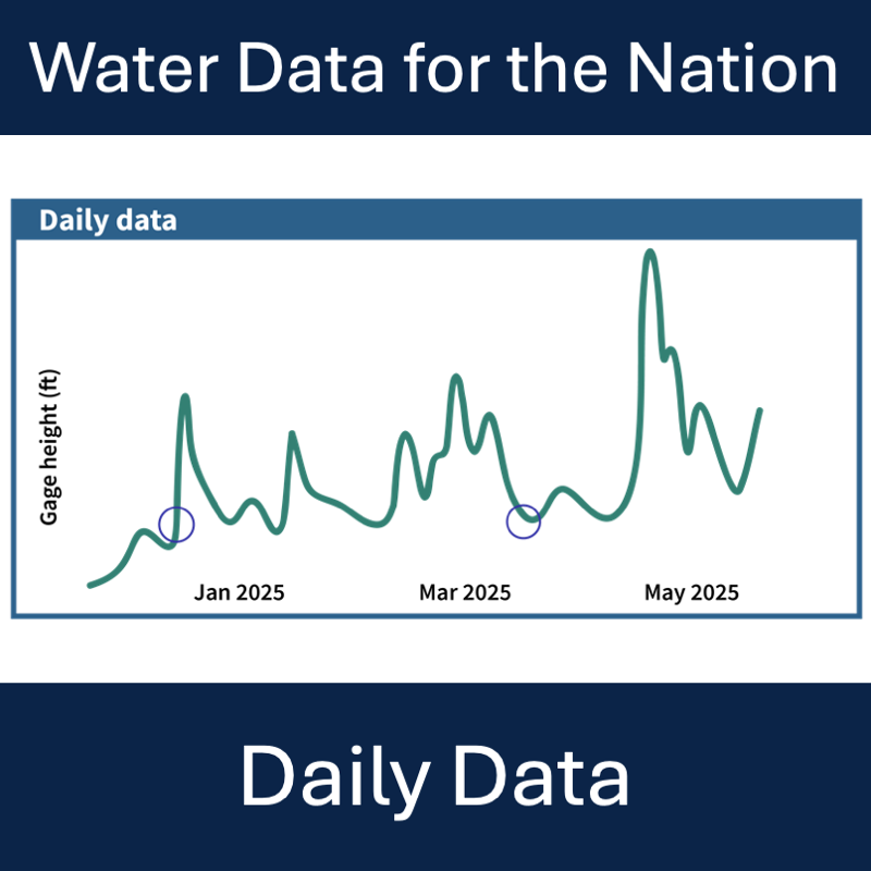
Where to find and download daily data in Water Data for the Nation
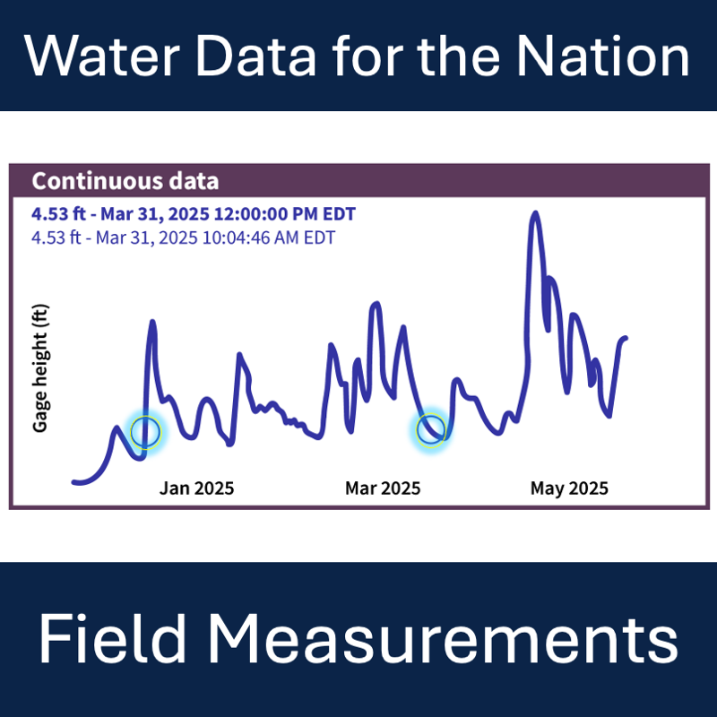
Where to find and download field measurements in Water Data for the Nation
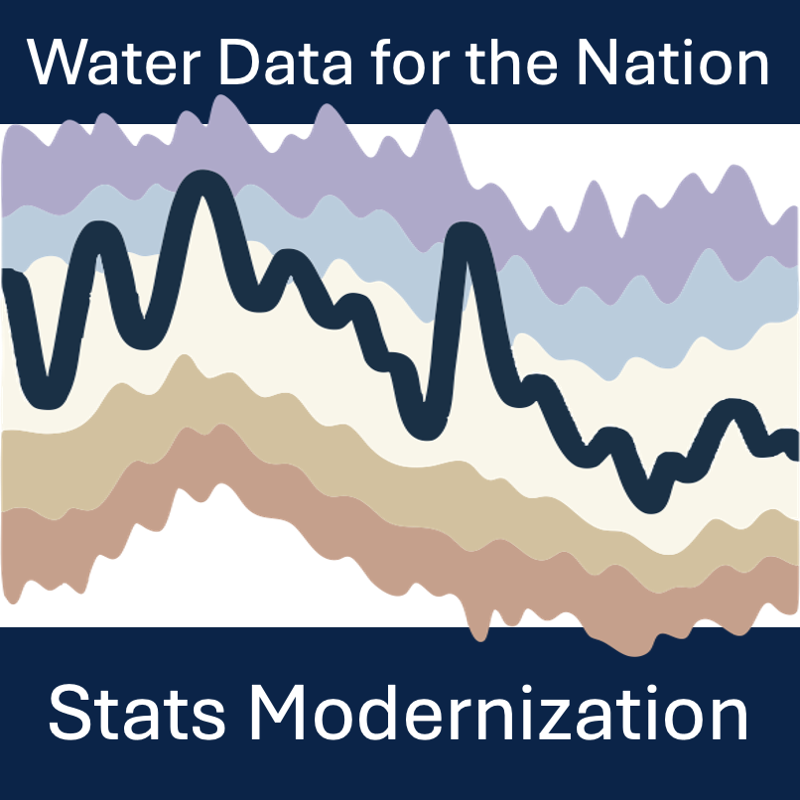
Modernization and decommission of statistics delivery for USGS Water Data for the Nation
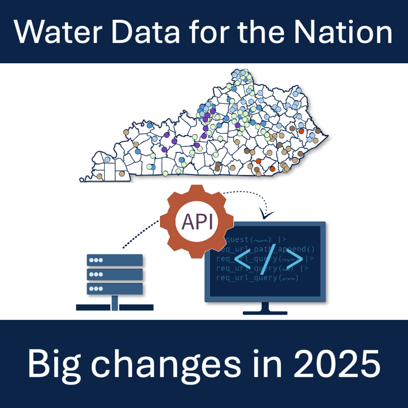
Summary of NWISWeb, WaterServices, and WaterWatch decommissions and modernization of APIs and UI for water data delivery