
The National Water Availability Assessment Data Companion provides a centralized source for national water availability data, including quantity, quality, and use across approximately 80,000 sub-watersheds nationwide.
Official websites use .gov
A .gov website belongs to an official government organization in the
United States.
Secure .gov websites use HTTPS
A lock (
) or https:// means you’ve safely connected to the .gov website. Share
sensitive information only on official, secure websites.
The National Water Availability Assessment Data Companion provides a centralized source for national water availability data, including quantity, quality, and use across approximately 80,000 sub-watersheds nationwide.
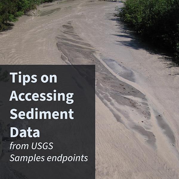
Sediment data are collected on rivers and streams throughout the nation. These data can be accessed through the USGS Samples endpoints.
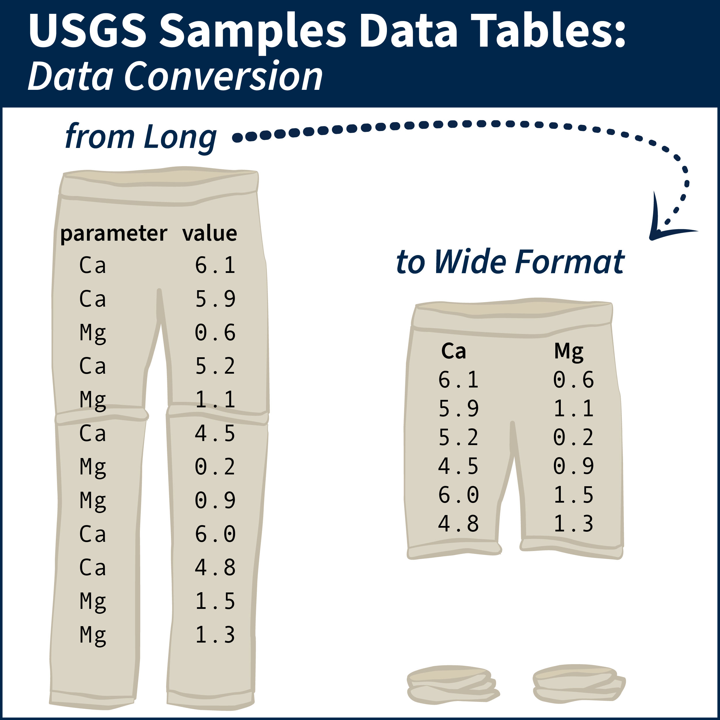
Tips and example R scripts for converting long-formatted data into wide tabular format
This blog describes a mapping file available to users to ease the transition to the WQX version 3.0 format. The spreadsheet provides high-level mapping of data fields in the legacy NWIS format to WQX fields.
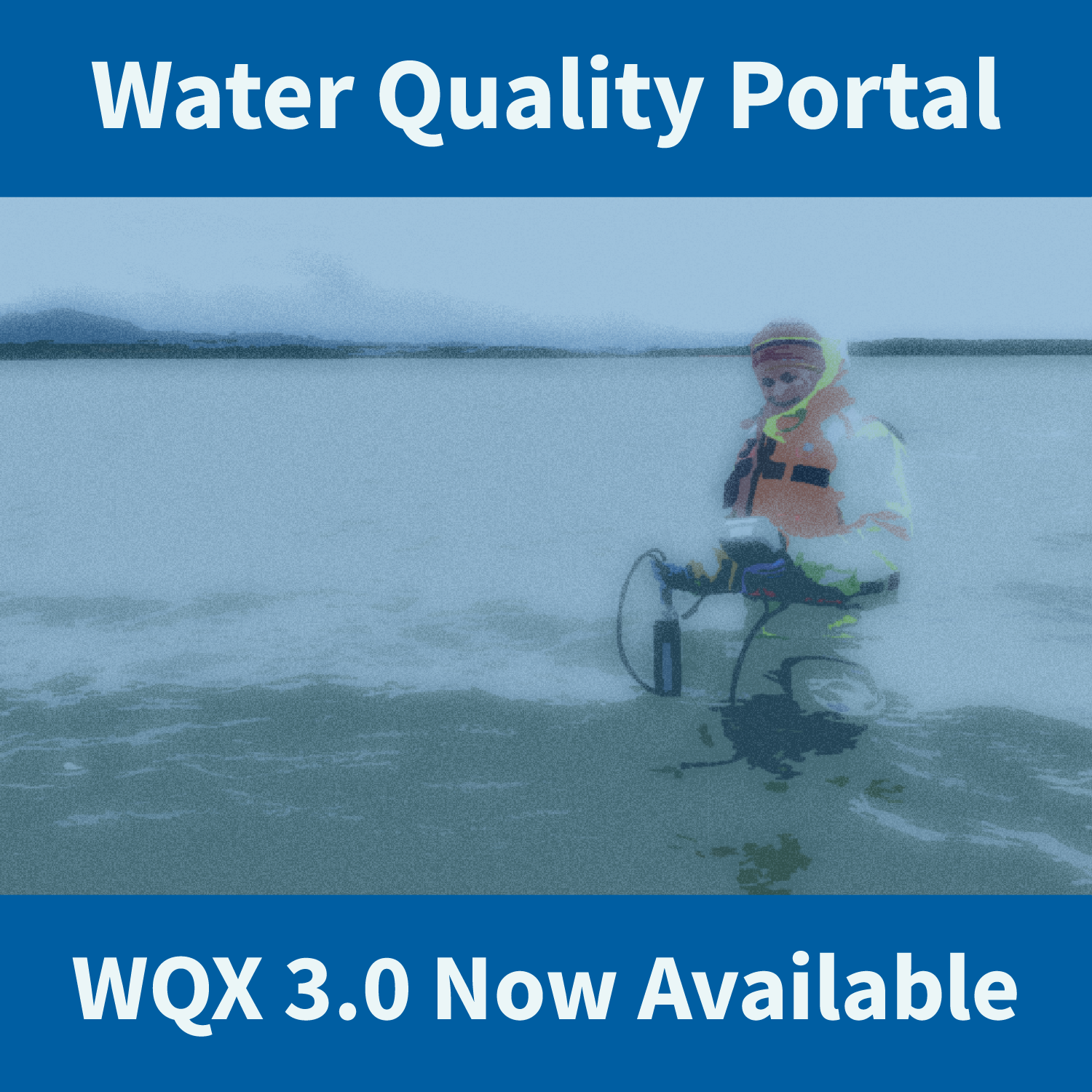
WQX3.0 data are available through the Water Quality Portal. This updated version of the schema includes new elements and new profiles with updated column names.
The USGS is expanding its implementation of the Water Quality Exchange (WQX) standard for delivering water quality and sample data.
USGS is improving the way that sample data are stored and served to the public. These changes will affect our back-end data management systems, web services, application programming interfaces (APIs), computational tools, and user interfaces for accessing data.