
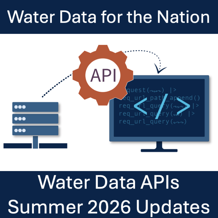
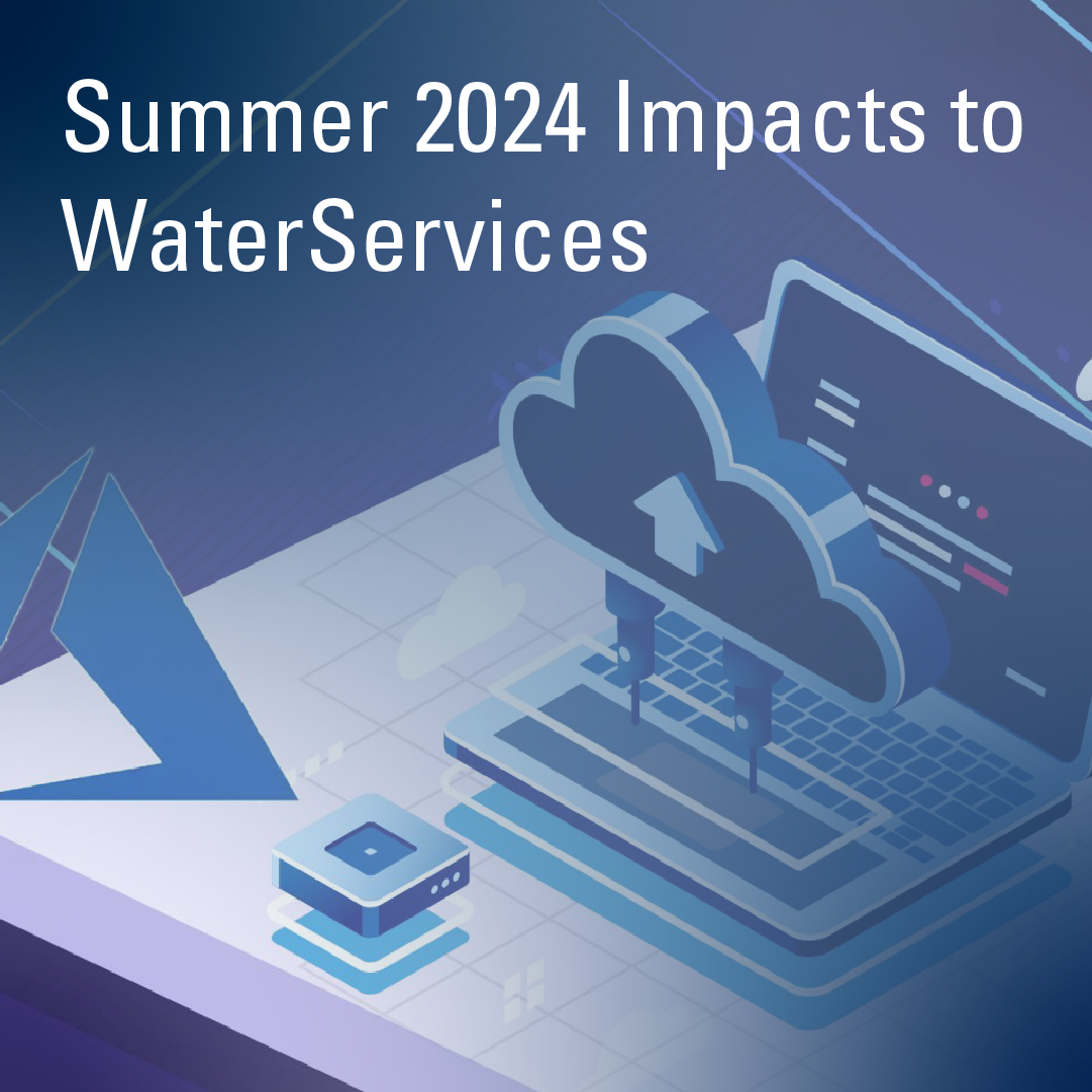
A new endpoint for peak flows is now available, queries now have additional metadata fields for filtering, and a new UI theme has been released for HTML responses.
Official websites use .gov
A .gov website belongs to an official government organization in the
United States.
Secure .gov websites use HTTPS
A lock (
) or https:// means you’ve safely connected to the .gov website. Share
sensitive information only on official, secure websites.
A new endpoint for peak flows is now available, queries now have additional metadata fields for filtering, and a new UI theme has been released for HTML responses.
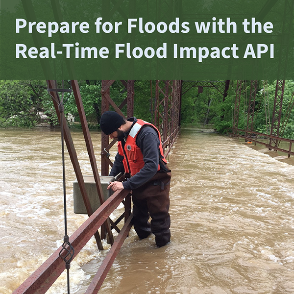
The USGS Real-Time Flood Impact (RT-FI) API service helps communities protect lives and property by providing flood risk context to widely-available USGS streamgage height measurements.
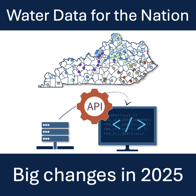
Summary of NWISWeb, WaterServices, and WaterWatch decommissions and modernization of APIs and UI for water data delivery
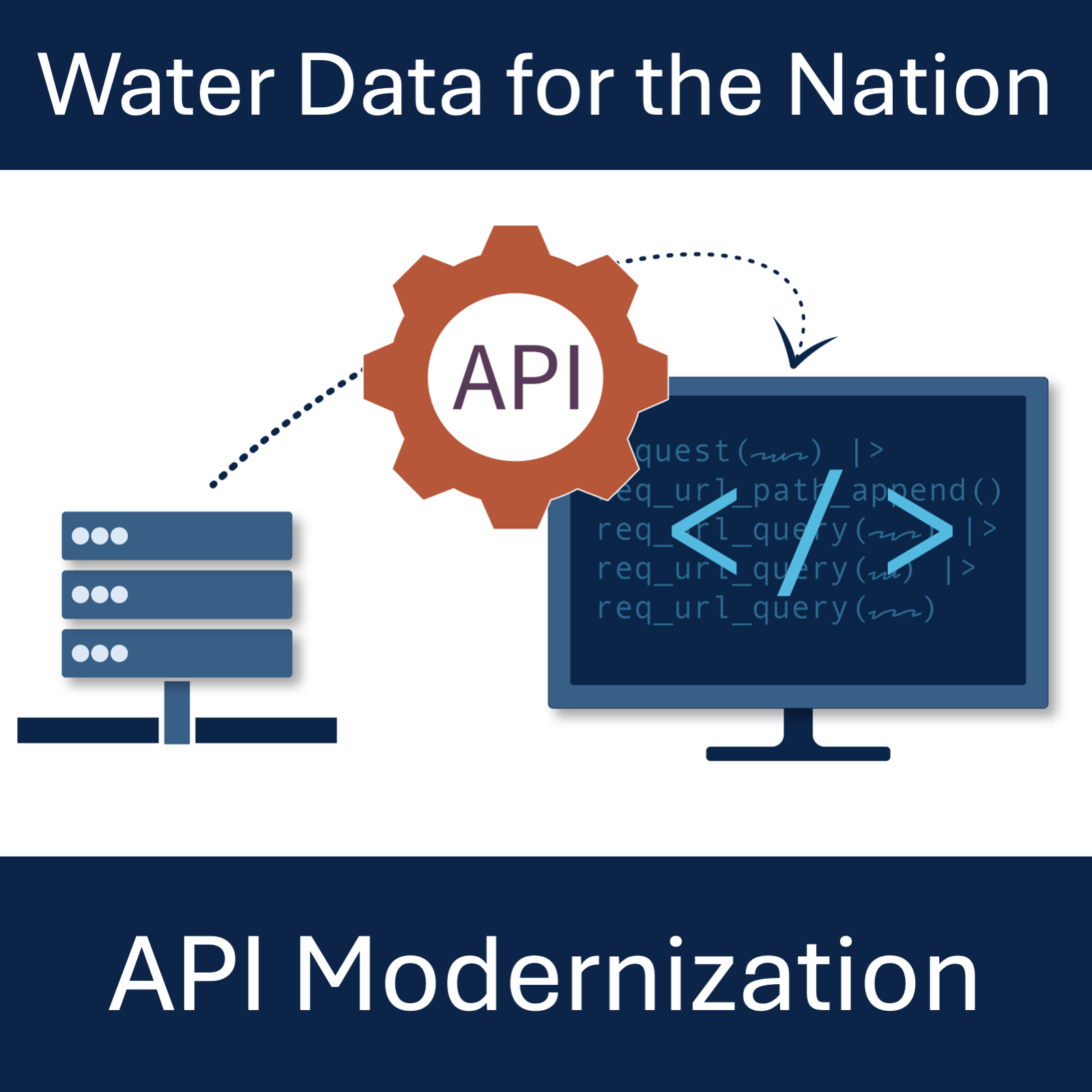
What to expect from modernized replacements to the WaterServices family of APIs.
WaterServices databases are receiving a major version update to meet security and dependency requirements.