
Water Quality Data Delivery Listening Sessions
Upcoming water-quality survey, webex, and interviews
Water Quality Data Delivery Listening Sessions
Starting on August 3, 2020, the WDFN Team will be conducting a month of activities aimed at gathering input from both internal and external users to help guide development activities related to water-quality data delivery.
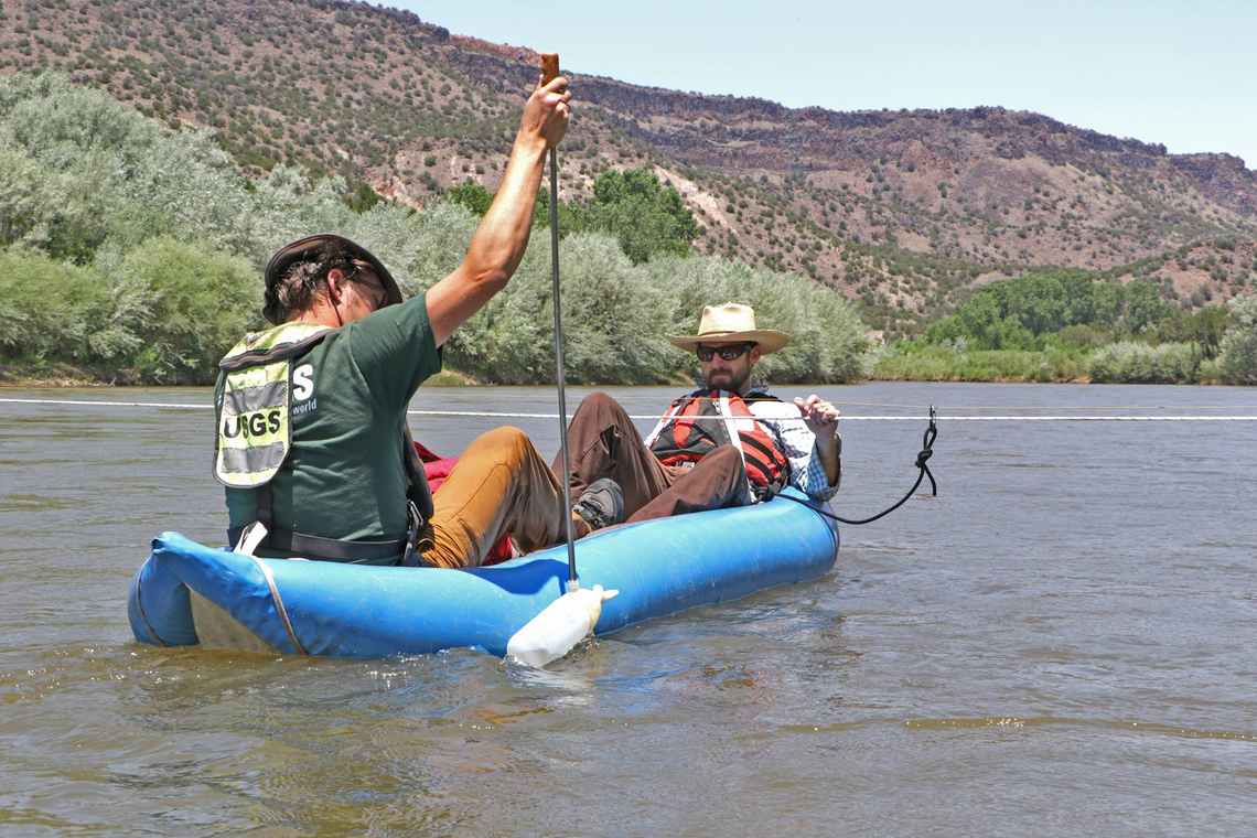
Tyson Hatch and Fletcher Brinkerhoff sampling suspended-sediment concentration upstream of the Buckman Diversion for the city of Santa Fe on the Rio Grande (08313150 Rio Grande above Buckman Diversion, near White Rock, NM).
Why are you doing this?
The USGS Water Resources Mission Area is seeking input from water quality data users of Water Data for the Nation . Our objective is to inform users of the status and plans for modernizing water quality data delivery, and to better understand our users’ needs for future water quality delivery systems. To accomplish these goals, a listening session and user survey will take place in August 2020.
As we look to redesign our data flow and web presence, we must understand who will be using our products and how they expect our products to behave. We will design Water Data for the Nation with users in mind. This is your chance to help us shape the future of water-quality data delivery.
Who do you want to hear from?
We want to hear from all users of USGS water-quality data. We’re interested in the opinions of current users of NWIS-web, or people who use other water-quality applications that serve USGS data. This includes internal users (USGS employees), external users (such as cooperators or researchers), and members of the public. We also want to consider the needs of future users, or people who want to access USGS data but are intimidated or confused by our current data delivery system.
How can I give feedback?
First and foremost, we want as many people as possible to fill out our survey . This will help us to understand who our users are, their satisfaction with our current system, and how they ultimately use our data. The survey also gives users the opportunity to give more detailed feedback in an interview with our team. These interviews will be crucial to helping us understand our users needs in more detail. Our team will be announcing the link to this survey over social media and through emails to our known users and colleagues. We’d appreciate your help in sharing this link to people we may not have reached so we can hear from as many current and potential users as possible.
For USGS employees, we will hold a WebEx to poll attendees about their current use of NWISWeb , and ask about their hopes for a future system. This will give our internal users the a direct line to our team.
What will you do with the information you collect?
We recognize that as we plan for the future of Water Data for the Nation, it is important to understand our audience and how best to serve them.
The primary goal of our Listening Sessions is to craft users stories for future development activities. User stories are short, simple descriptions of a feature told from the perspective of the person who desires the new capability. We will synthesize the data collected in our survey with the feedback we get during our WebEx and interviews into user stories that tell us who our users are, what they want, and why they want it. Then we will share these stories with our software developers so they know how to build a user-friendly system.
As a bonus, we hope that the information we collect will also help us better understand the current uses of NWISWeb. Specifically, we want to know how people use our product in its current state, and how they apply it to their science needs.
When should I expect to see changes to water-quality data delivery?
Our legacy NWISWeb system is not going away any time soon. It will take a long time to research, design, and implement our new Water Data for the Nation water-quality data delivery system. Users can expect to see beta versions of our changes in 2022, and continued improvements after that. Opportunities to provide feedback will not end there. As we make improvements to our beta version, we will embed mechanisms for users to tell us how we are doing and welcome any comments you may have along the way.
Who can I contact?
The Internet of Water team of Product Owners can be contacted here: gs-w-iow_po_team@usgs.gov Please reach out to us if you’d like to participate in an interview or offer your thoughts outside of the Listening Session forums.
Categories:
Keywords:
Related Posts
#5NewThings
August 21, 2020
The Water Resources Mission Area is spotlighting five newly available features on our next-gen monitoring location pages this week! To compliment this blog post, we will show off our work on Instagram and Twitter, using the hashtag #5NewThings.
Decommissioning of the National Water Census - Data Portal
July 22, 2020
What are you decommissioning? As the USGS Water Mission Area (WMA) undertakes modernizing data delivery as part of implementation of the U.S. Geological Survey Water Science Strategy (Circular 1382-G ), resources will be directed away from legacy applications to new development and delivery mechanisms.
Release Notes for July 21st, 2020
July 21, 2020
What have we been up to? Pubs Warehouse moved to the Cloud Behind the scenes work New features and tools Pubs Warehouse on the Cloud The Water Data for the Nation team is the primary development team for another high profile application, the USGS Publications Warehouse .
Doing user research to design the next-gen WDFN
July 17, 2020
The USGS Water Resources Mission Area (WMA) is striving to make our water data easier to access for our users. This involves stepping back and reviewing how users currently use waterdata.
Release Notes for late March 2020
April 10, 2020
What have we been up to? Image server work Period parameter Axis scaling Networks page New features and tools Image export from monitoring location pages One of the most requested features we receive from users is the ability to export images from the monitoring location pages.