
Modernizing How You Access Water Data | Webinar on Oct 13 | Recording Available
USGS has provided crucial water data online for decades, but the system is outdated, so we're rebuilding a brand new, modernized system. We're hosting a webinar to talk about the first release of this new system. Join us for our Teams Live Event on October 13, 2021 at 1 pm EDT/ 10 am PDT.
Missed the webinar? Watch the recording
The recording of this webinar can be viewed on the USGS website or on the USGS YouTube channel .
Let us know your thoughts!
Didn’t get a chance to give us your feedback during the live event? Just now watching the recording? We’d love to hear your thoughts - it’ll only take a minute. Please, fill out our feedback form.
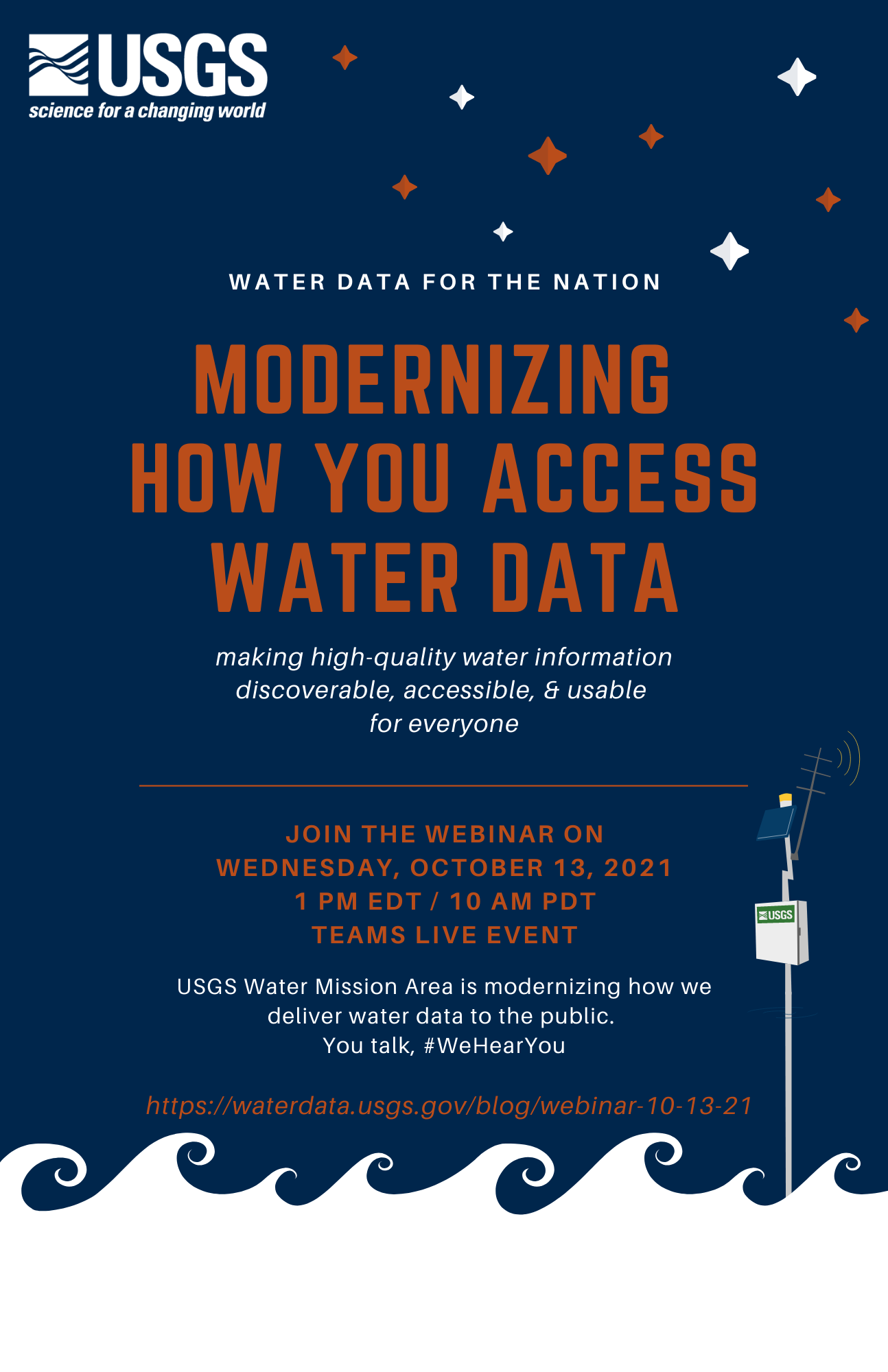
USGS presents Water Data for the Nation - Modernizing How You Access Water Data
On October 13th at 1 pm EDT/ 10 am PDT, join our Teams Live Event to learn about how we’re modernizing the way we display water data online.
Access to water data is crucial for decision-making, and you can do amazing things with @USGS_Water data. But, our previous system didn’t make data access easy, so we’re rebuilding our data delivery system . At USGS, we know it’s crucial for water data to be accessible, usable, and discoverable for all US citizens. We’d like to tell you all about how we’re prioritizing better data delivery so you have the information you need to make important decisions. To hear more of the story, watch our brief introduction video, available on our website or on YouTube .
To hear more of the story, watch our brief introduction video, available on our website or on YouTube .
Add this event to your calendar
Visit our event page on Eventbrite to add this webinar to your calendar. Note: You do not have to register for the event through Eventbrite; you can just click “add to calendar.”
Link to the Live Webinar
Join the Teams Live Event at 1 pm EDT on October 13th by clicking this link or pasting it into your browser (https://teams.microsoft.com/l/meetup-join/19%3ameeting_OGU4YzcyYmUtMzcyMS00YTVhLWFmOTQtODIyZjE3ZTM3Y2Mz%40thread.v2/0?context=%7b%22Tid%22%3a%220693b5ba-4b18-4d7b-9341-f32f400a5494%22%2c%22Oid%22%3a%2274c01c76-7d2c-4555-94ec-9e22ecb44037%22%2c%22IsBroadcastMeeting%22%3atrue%7d&btype=a&role=a) . You do not have to download Teams to watch this webinar.
Join the conversation – attend our public webinar on October 13th, 2021 @ 1pm EDT/ 10am PDT.
#WeHearYou - You can email us at any time: WDFN@usgs.gov . We will have time in the second half of the webinar to answer questions live.
Share your thoughts with us by filling out this feedback form!
Categories:
Related Posts
Updates and improvements to the National Water Dashboard
March 19, 2026
The National Water Dashboard (NWD) continues to evolve as we modernize our water-data delivery tools and improve how users discover, explore, and interact with real‑time information. Our latest set of updates focuses on simplifying the map experience, improving usability, adding new ways to customize your view, and continuing our long‑term transition away from legacy services. Below is an overview of what’s new.
How we work on the Water Data for the Nation Team
March 9, 2021
The USGS Water Mission Area (WMA) is the largest provider of real time and historical water information in the world. A major part of our work in the WMA Web Communications Branch is to build modern web applications and APIs to make these data publicly available. We call our data delivery product line Water Data for the Nation (WDFN). Here’s our product vision:
Tutorial of dataRetrieval's newest features in R
November 26, 2025
This article will describe the R-package
dataRetrieval, which simplifies the process of finding and retrieving water from the U.S. Geological Survey (USGS) and other agencies. We have recently released a new version ofdataRetrievalto work with the modernized Water Data APIs . The new version ofdataRetrievalhas several benefits for new and existing users:Daily data in Water Data for the Nation
November 21, 2025
There have been a lot of changes to how you access USGS water data as we work to modernize data delivery in WDFN and decommission NWISWeb. As we centralize and re-organize data delivery in WDFN, we have recently set out to describe different types of water data according to data collection categories . We started with re-organizing and expanding the data collection categories that are delivered on the Monitoring Location Page and are now working to deliver additional data collection categories on other WDFN pages as well. This blog is part of a series to help orient you to where you can find different types of data in WDFN pages and services. In this post, we want to focus on how you can access daily data in WDFN.
New Feature - Field Measurements
September 23, 2025
We are excited to announce a new feature on Monitoring Location pages that provide field measurements, which are physically measured values collected during a field visit to a monitoring location.