Station operated by the U.S. Geological Survey in cooperation with
Colorado River Water Conservation
District, and Bureau of
Reclamation.
Current shift adjusted rating
table.
What
is a shift adjusted stage-discharge rating table?
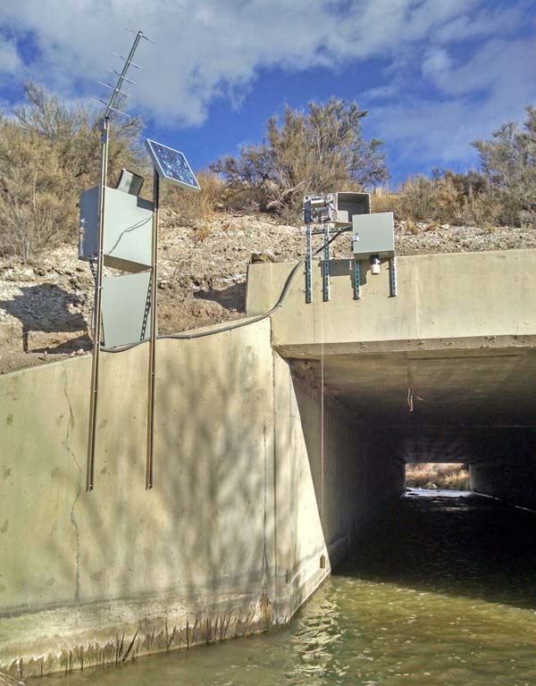
Water-quality at LOUTZENHIZER ARROYO AT N. RIVER ROAD
(383946107595301) is used to determine baseline water quality for a
wide variety of constituents as well as track trends in selected
constituents over longer periods. On April 19, 2013 a streamflow gaging
station was added to assist in calculating constituent loads and
trends. However, it was evident that the gage was negatively affected
by a nearby diversion structure. The streamflow gage was moved to the
current location (383926107593001 LOUTSENHIZER ARROYO AT HWY 50 NEAR
OLATHE, CO) on December 16, 2014. Discharge at the two locations is
considered equivalent for calculating constituent loads.