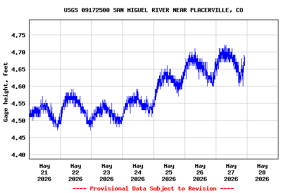
Most recent instantaneous value: 194 05-27-2026 22:05 MDT
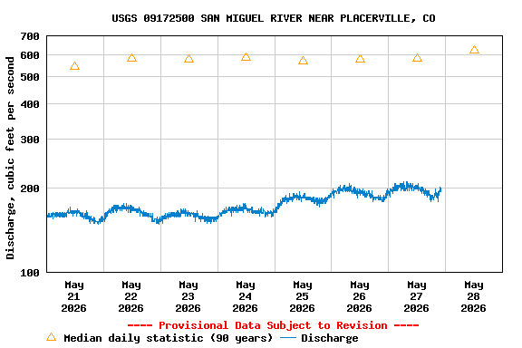
See this graph on the Monitoring Location Pages
| Min (1977) | Most Recent Instantaneous Value May 28 | 25th percen- tile | Median | Mean | 75th percen- tile | Max (1958) |
|---|---|---|---|---|---|---|
| 89.0 | 194 | 436 | 622 | 678 | 831 | 1900 |