USGS 09060799 COLORADO RIVER AT CATAMOUNT BRIDGE, CO

PROVISIONAL DATA SUBJECT TO REVISION

Click to hidestation-specific text
Click for larger image

This site is operated seasonally, March 15 through November 15 only.

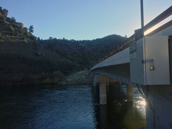
Station operated by the U.S. Geological Survey in cooperation with Upper Colorado River Wild and Scenic Stakeholder Group, and Bureau of Land Management.

Current shift adjusted rating table.
What is a shift adjusted stage-discharge rating table?

This station managed by the Grand Junction Field Office.

Available Parameters Available Period
  
2016-10-21  2024-04-27
2016-10-21  2023-07-20
2016-10-21  2024-04-27
2020-10-05  2024-04-27
2021-07-15  2024-04-27
2021-07-15  2024-04-27
2021-07-15  2024-04-27
2021-07-15  2024-04-27


 (7)
 

  -- or --


Summary of all available data for this site
Instantaneous-data availability statement


Discharge, cubic feet per second

Most recent instantaneous value: 2650 04-27-2024   05:30 MDT
Graph of  Discharge, cubic feet per second

Add up to 2 more sites and replot for "Discharge, cubic feet per second"

?


Create presentation-quality / stand-alone graph.   Subscribe to WaterAlert      

See this graph on the Monitoring Location Pages


Daily discharge, cubic feet per second -- statistics for Apr 27 based on 7 water years of record more
Min
(2022)
25th
percen-
tile
Median Mean 75th
percen-
tile
Max
(2019)
Most Recent
Instantaneous
Value Apr 27
848 922 1250 1290 1400 2170 2650


Gage height, feet

Most recent instantaneous value: 8.16 04-27-2024   05:30 MDT
Graph of  Gage height, feet

Add up to 2 more sites and replot for "Gage height, feet"

?


Create presentation-quality / stand-alone graph.   Subscribe to WaterAlert      

See this graph on the Monitoring Location Pages