PROVISIONAL DATA SUBJECT TO REVISION
Click to hidestation-specific text
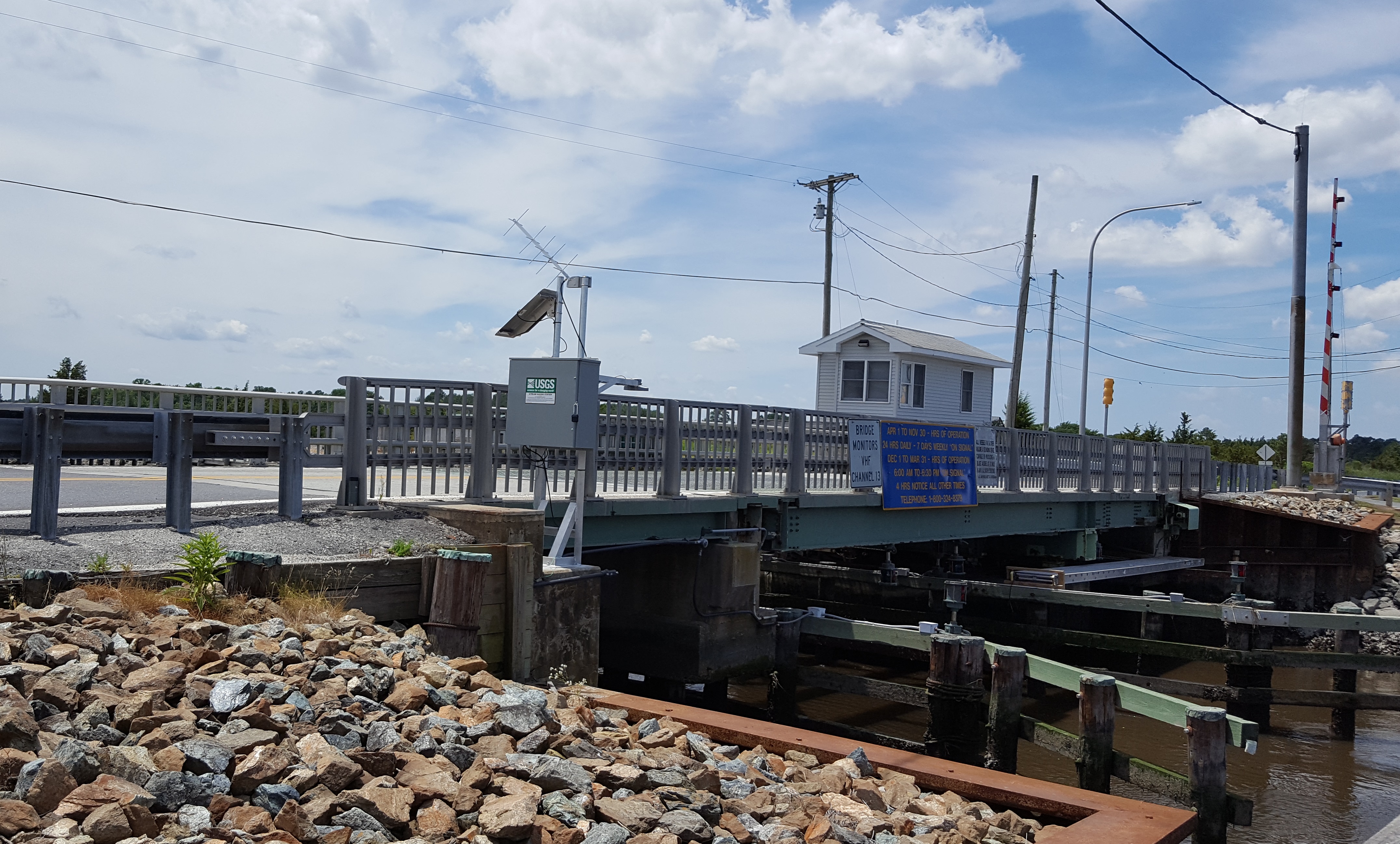 LOCATION.--Lat
38°56'06.1", long 75°19'25.3", Sussex County, DE,
Hydrologic Unit 02040207, on right bank at downstream side of
bridge
LOCATION.--Lat
38°56'06.1", long 75°19'25.3", Sussex County, DE,
Hydrologic Unit 02040207, on right bank at downstream side of
bridgeon State Highway 36, 1.8 mi northwest of Slaughter Beach and 0.9 mi upstream from mouth.
DRAINAGE AREA.--Not determined.
PERIOD OF RECORD.--October 1965 to September 1991 (annual maximum only), June 2017 to current year.
GAGE.--Water-stage recorder. Datum of gage is 0.00 ft above North American Vertical Datum of 1988.From June 1965 to September 1991, datum of gage -0.51 ft above National Geodetic Vertical Datum of 1929, 0.78 ft higher than present datum.
REMARKS.--This is a tidal station. Discharge is not determined at this location. U.S. Geological Survey satellite data-collection platform at station.
EXTREMES FOR PERIOD OF RECORD.-- Maximum elevation, 6.46 ft at datum then in use, March 29, 1984; minimum elevation, unknown.
EXTREMES OUTSIDE PERIOD OF RECORD.--Storm of October 31, 1991 reached a stage of 5.66 ft at datum then in use. Storm of Jan. 4, 1992
reached a stage of 6.61 ft at datum then in use.
COOPERATION.-- Funding for the operation of this station is provided by the Delaware Department of Transportation through the Delaware Geological Survey.
Summary of all available data for this site
Instantaneous-data availability statement
