PROVISIONAL DATA SUBJECT TO REVISION
Click to hidestation-specific text
|
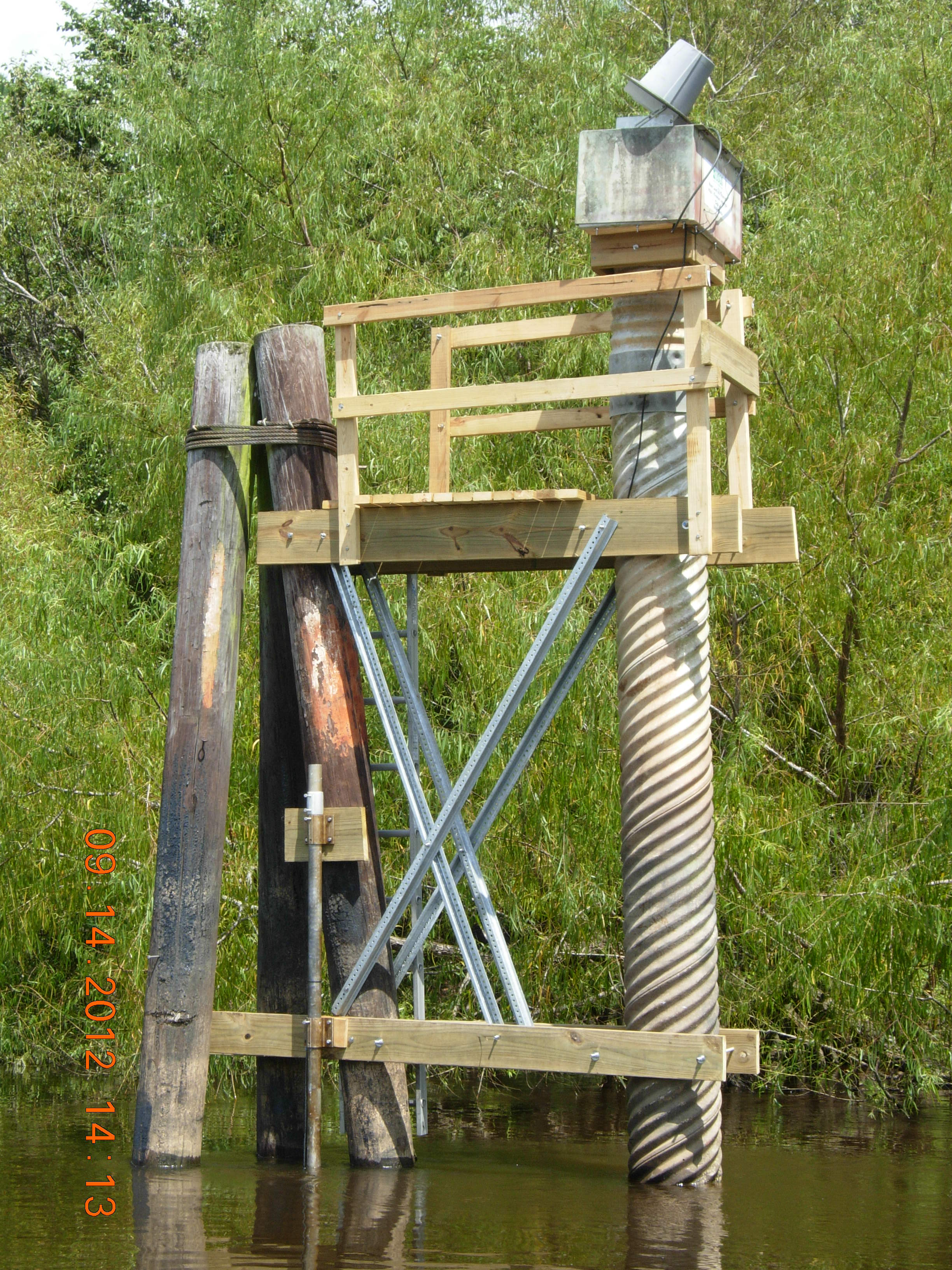
This gage is monitored in cooperation with the Northwest Florida Water Management District.
|
|
|
Instantaneous-data availability statement
|
This gage is monitored in cooperation with the Northwest Florida Water Management District.
|
|
|

| Min (2000) | Most Recent Instantaneous Value Jul 18 | 25th percen- tile | Median | 75th percen- tile | Mean | Max (1994) |
|---|---|---|---|---|---|---|
| 6180 | 10000 | 10700 | 16300 | 19700 | 20600 | 156000 |

![]() U.S. Department of the Interior |
U.S. Geological Survey
U.S. Department of the Interior |
U.S. Geological Survey
Title: USGS Current Conditions for Florida
URL:
Page Contact Information: Florida Water Science Center - Tallahassee Water Data Support Team
Page Last Modified: 2026-07-18 15:33:21 EDT
3.19 2.67 sdww01