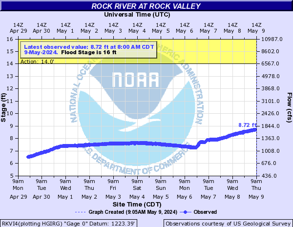
PROVISIONAL DATA SUBJECT TO REVISION
Click to hidestation-specific text
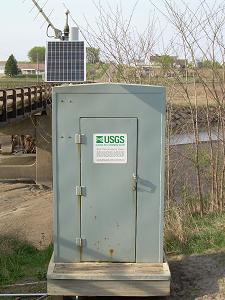
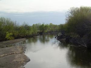
 Site Information
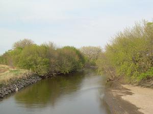
Summary of all available data for this site
Instantaneous-data availability statement

| Min (1959) | 25th percen- tile | Median | Most Recent Instantaneous Value Mar 5 | 75th percen- tile | Mean | Max (1994) |
|---|---|---|---|---|---|---|
| 0.00 | 39 | 230 | 519 | 666 | 764 | 8000 |
![]() U.S. Department of the Interior |
U.S. Geological Survey
U.S. Department of the Interior |
U.S. Geological Survey
Title: USGS Current Conditions for Iowa
URL:
Page Contact Information: Iowa Water Data Support Team
Page Last Modified: 2026-03-05 05:45:55 EST
2.58 2.17 sdww02