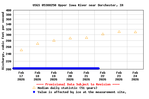
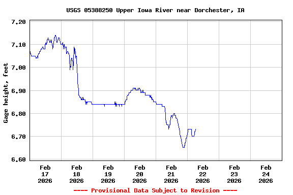
LOCATION.--Lat 43°25'16", long 91°30'31"
referenced to North American Datum of 1927, in SE 1/4 SW 1/4 NW 1/4
sec.1, T.99 N., R.6 W., Allamakee County, IA, Hydrologic Unit
07060002, on right bank 5 ft upstream from bridge on State Highway
76, 3.5 mi south of Dorchester, 650 ft upstream from Mineral Creek,
0.5 mi upstream from Bear Creek, and 18.3 mi upstream from mouth.
(map)
DRAINAGE AREA.--770 mi2.
SURFACE-WATER RECORDS
PERIOD OF RECORD.--Discharge measurements from September 1936 to
September 1938, October 1939 to June 1975; discharge records from
October 1938 to September 1939, July 1975 to current year.
GAGE.--Water-stage recorder. Datum of gage is 660.00 ft above
National Geodetic Vertical Datum of 1929. Prior to January 6, 1938,
non-recording gage at site of old bridge, 0.2 mi upstream, at datum
5.91 ft higher; January 6, 1938, to April 26, 1948, non-recording
gage at site of old bridge at datum 60.00 ft lower; April 27, 1948,
to August 1963, non-recording gage at site of old bridge at same
datum; August 1963 to June 1975, non-recording gage at same site and
datum.
WATER-QUALITY RECORDS
PERIOD OF RECORD.--Water years 1975-1981.
PERIOD OF DAILY RECORD.--
SPECIFIC CONDUCTANCE: Daily instantaneous values collected in
conjunction with suspended-sediment samples, July 1975 to September
1981, records fragmentary.
WATER TEMPERATURE: Daily instantaneous values collected in
conjunction with suspended-sediment samples, October 1977 to
September 1981, records fragmentary.
SUSPENDED-SEDIMENT CONCENTRATION AND DISCHARGE: July 1975 to
September 1981.

