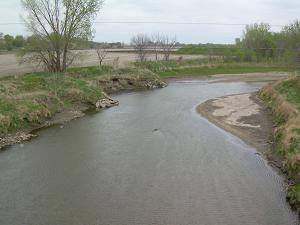
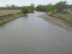
LOCATION.--Lat 42°34'36", long 96°18'40"
referenced to North American Datum of 1927, in SW 1/4 SW 1/4 SW 1/4
sec.29, T.90 N., R.46 W., Plymouth County, IA, Hydrologic Unit
10230002, on left bank on upstream side of bridge on County Highway
C70, 0.2 mi east of James, 14.3 mi downstream from West Branch Floyd
River, and 8.9 mi upstream from mouth. (map)
DRAINAGE AREA.--886 mi2.
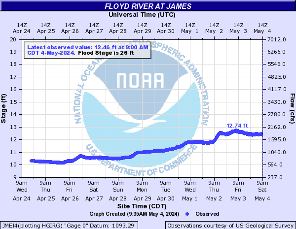
SURFACE-WATER RECORDS
PERIOD OF RECORD.--Discharge records from December 1934 to current
year.
REVISED RECORDS.--WSP 1240: 1935 (M), 1936, 1937-38 (M), 1942,
1945. WSP 1440: Drainage area.
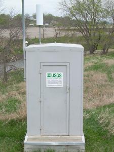
GAGE.--Water-stage recorder. Datum of gage is 1,092.59 ft above
National Geodetic Vertical Datum of 1929. Prior to September 11,
1938, June 9 to November 15, 1953, and October 1, 1955, to May 22,
1957, non-recording gage at same site at datum 10.0 ft higher; May
23, 1957, to September 30, 1970, water-stage recorder at same site at
datum 10.0 ft higher.
WATER-QUALITY RECORDS
PERIOD OF RECORD.--Water year 2012.
PERIOD OF DAILY RECORD.--
SPECIFIC CONDUCTANCE: Daily instantaneous values collected in
conjunction with suspended-sediment samples, October 1968 to
September 1973.
WATER TEMPERATURE: Daily instantaneous values collected in
conjunction with suspended-sediment samples, October 1968 to
September 1973.
SUSPENDED-SEDIMENT CONCENTRATION AND DISCHARGE: March 1954 to April
1957, October 1968 to September 1973. Prior to October 1968,
suspended-sediment discharge records only, provided by U.S. Army
Corps of Engineers.
 Site Information