PROVISIONAL DATA SUBJECT TO REVISION
Click to hidestation-specific text
International gaging station
Starting in water year 2014, daily mean discharge values are presented only for the discharge measured at 12322000. Prior to water year 2014, the daily mean discharge values represented the total discharge passing the international boundary, which included inflows from Boundary Creek. Total discharge passing the international boundary is now available under station 12322001.
Station is operated in cooperation with the U.S. Army Corps of Engineers and the International Joint Commission.
Summary of all available data for this site
Instantaneous-data availability statement
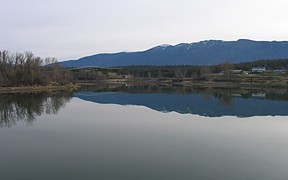
![Graph of Discharge, cubic feet per second, [(2)]](https://natwebvaww01.er.usgs.gov/nwisweb/data/img/USGS.12322000.46885.00060..20260221.20260228.log.0.p50.gif)