USGS 10092700 BEAR RIVER AT IDAHO-UTAH STATE LINE

PROVISIONAL DATA SUBJECT TO REVISION

Click to hidestation-specific text
USGS station 10092700 
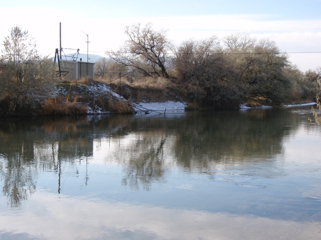
Station operated by the U.S. Geological Survey, with Cooperative Matching Funds with the Bear River Commission.
rainfall Arrow
This station managed by the Salt Lake City Field Office.

Available Parameters Available Period
  
2024-02-14  2024-06-13
1986-10-01  2024-06-13
2008-10-01  2024-06-13


 (7)
 

  -- or --


Summary of all available data for this site
Instantaneous-data availability statement


Discharge, cubic feet per second

Most recent instantaneous value: 609 06-13-2024   08:45 MDT
Graph of  Discharge, cubic feet per second

Add up to 2 more sites and replot for "Discharge, cubic feet per second"

?


Create presentation-quality / stand-alone graph.   Subscribe to WaterAlert      

See this graph on the Monitoring Location Pages


Daily discharge, cubic feet per second -- statistics for Jun 13 based on 52 water years of record more
Min
(1985)
25th
percen-
tile
Most Recent
Instantaneous
Value Jun 13
Median Mean 75th
percen-
tile
Max
(1984)
170 415 609 787 1200 1620 4770


Gage height, feet

Most recent instantaneous value: 9.79 06-13-2024   08:45 MDT
Graph of  Gage height, feet

Add up to 2 more sites and replot for "Gage height, feet"

?


Create presentation-quality / stand-alone graph.   Subscribe to WaterAlert      

See this graph on the Monitoring Location Pages