USGS 13172500 SNAKE RIVER NR MURPHY ID

PROVISIONAL DATA SUBJECT TO REVISION

Click to hidestation-specific text
USGS 13172500 SNAKE RIVER NR MURPHY ID - USGS file photo USGS Idaho Water Science Center celebrating more than 100 Years of streamgage Records

> Rating Information

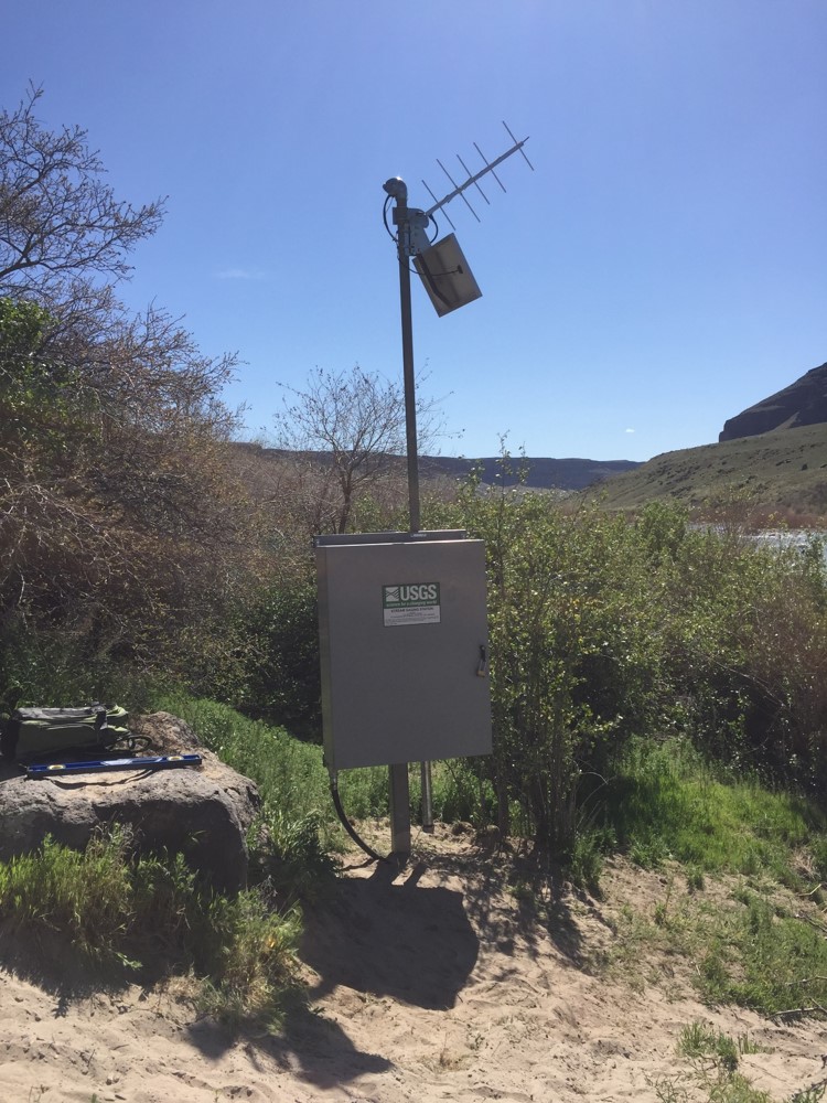
Station is operated in cooperation with the Idaho Department of Water Resources (IDWR).

Daily discharge records furnished by Idaho Power and reviewed by U.S. Geological Survey from July 2001 to September 2016.

This station managed by the Boise Field Office.

Available Parameters Available Period
  
1986-10-01  2024-07-01
2016-07-07  2024-07-01
2016-07-07  2018-10-18


 (7)
 

  -- or --


Summary of all available data for this site
Instantaneous-data availability statement


Discharge, cubic feet per second

Most recent instantaneous value: 8140 07-01-2024   06:15 MDT
Graph of  Discharge, cubic feet per second

Add up to 2 more sites and replot for "Discharge, cubic feet per second"

?


Create presentation-quality / stand-alone graph.   Subscribe to WaterAlert      

See this graph on the Monitoring Location Pages


Daily discharge, cubic feet per second -- statistics for Jul 1 based on 110 water years of record more
Min
(2022)
25th
percen-
tile
Median Most Recent
Instantaneous
Value Jul 1
Mean 75th
percen-
tile
Max
(1918)
4350 6150 7670 8140 9770 9850 39100


Gage height, feet

Most recent instantaneous value: 22.35 07-01-2024   06:15 MDT
Graph of  Gage height, feet

Add up to 2 more sites and replot for "Gage height, feet"

?


Create presentation-quality / stand-alone graph.   Subscribe to WaterAlert      

See this graph on the Monitoring Location Pages


Gage height, feet, [(2)]
 
-- Data temporarily unavailable for the time period specified --