PROVISIONAL DATA SUBJECT TO REVISION
Click to hidestation-specific text
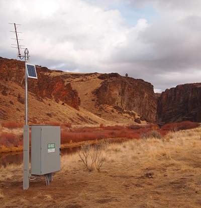
The elevation of this station has been determined to be 4253.65 feet above NAVD 1988. To obtain stream water-surface elevation values in NAVD 1988 add 4253.65 feet to gage height values. Station is operated in cooperation with Bureau of Land Management .
Station operated with funding provided by the U.S. Geological Survey Groundwater and Streamflow Information Program (GWSIP). |
 Rating Information
Summary of all available data for this site
Instantaneous-data availability statement