PROVISIONAL DATA SUBJECT TO REVISION
Click to hidestation-specific text
This site is operated in cooperation with the
 DuPage
County, Illinois
DuPage
County, Illinois
Stormwater Management Division
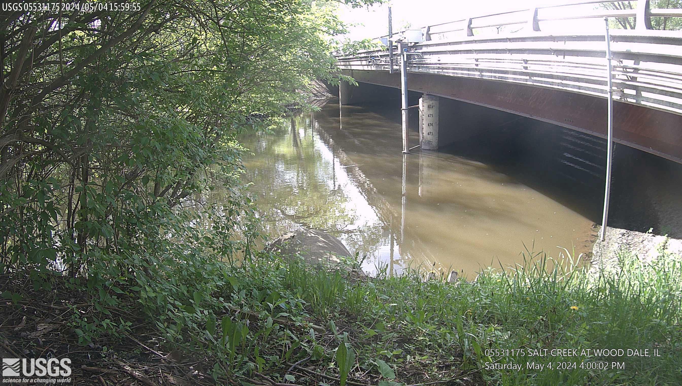
This site is located at Irving Park Road in Wood Dale, Illinois. The time is reported in Central Standard Time and the bridge-pier elevations are referenced to NGVD 1929.
DuPage
County, IllinoisStormwater Management Division
This site is located at Irving Park Road in Wood Dale, Illinois. The time is reported in Central Standard Time and the bridge-pier elevations are referenced to NGVD 1929.
Summary of all available data for this site
Instantaneous-data availability statement
