LOCATION.--Lat 39°45'39.5",long 75°31'07.3", New Castle County, DE, Hydrologic Unit 02040205,
on right bank 100 ft east of intersection of 44th and Pine Streets in Clifton Park,
700 ft downstream from bridge on North Market Street in Wilmington, 0.2 mi downstream from
Matson Run, and 2.3 mi upstream from mouth.
DRAINAGE AREA.--7.46 mi2.
PERIOD OF RECORD.--December 1945 to current year.
REVISIONS HISTORY.--WSP 1382: 1948(m). https://waterdata.usgs.gov/nwis/dv/?site_no=01477800: 2011-2014.
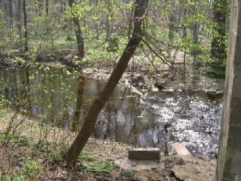
GAGE.--Water-stage recorder, concrete control and crest-stage gage. Datum of gage is 14.15 ft
above North American Vertical Datum of 1988.
REMARKS.--Occasional regulation at low flow from unknown source upstream from station. U.S.
Geological Survey satellite data-collection platform at station.
EXTREMES FOR PERIOD OF RECORD.--Maximum discharge, 8,040 ft3/s, July 5, 1989, gage height, 13.76 ft;
minimum discharge, 0.09 ft3/s, October 2, 1968.
EXTREMES OUTSIDE PERIOD OF RECORD.--Maximum stage known since at least 1940, that of July 5, 1989.
Flood of Aug. 1, 1945, reached a stage of about 8.5 ft, from floodmarks.
COOPERATION.--Funding for the operation of this station is provided by the Delaware Geological
Survey, and the U.S. Geological Survey.
CRITICAL LEVELS.--Flood stage; 8.0 ft (2,920 ft3/s), information provided by the National Weather
Service.

