This site is affected by storm tides which increase stream water
levels at the gage. Stage values reported are believed to be reasonably
accurate, but the higher stage readings may produce estimates of
discharge that are higher than actual.
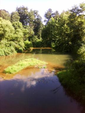
LOCATION.--Lat 39°15'25.4", long 75°56'24.5", Kent County, MD, Hydrologic Unit 02060002, on middle pier of double box
   culvert at downstream side of State Highway 291, 1.5 mi northwest of Crumpton, and 1.2 mi upstream from mouth.
DRAINAGE AREA.--6.12 mi2.
PERIOD OF RECORD.--July 1996 to September 2002. June 2011 to current year.
GAGE.--Water-stage recorder and crest-stage gage. Datum of gage is 1.21 ft above North American Vertical Datum of 1988.
REMARKS.--Flow occasionally affected by crop irrigation upstream of the gage during summer months.  U.S. Geological Survey
   satellite data-collection platform at station.
EXTREMES FOR PERIOD OF RECORD.--Maximum discharge, 3,210 ft³/s, Sept. 16, 1999, gage height, 10.22 ft; minimum
   discharge, 1.1 ft³/s, Aug. 30, 1999.
COOPERATION.--Funding for the operation of this station is provided by the U.S. Environmental Protection Agency.

