LOCATION.--Lat 39°37'32.5", long 76°46'21.4",
Baltimore County, MD, Hydrologic Unit 02060003, on left bank, at bridge on Georges
Creek Road, 1,000 ft upstream from Prettyboy Reservoir, and 1.0 mi southeast
of Beckleysville.
DRAINAGE AREA.--15.8 mi2.
PERIOD OF RECORD.--March 2000 to current year.
GAGE.--Water-stage recorder and crest-stage gage. Datum of gage is 520.06 ft above North American
Vertical Datum of 1988. Previously operated as a low-flow partial-record station during water
years 1977-82 at same location.
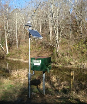
REMARKS.--U.S. Geological Survey satellite data-collection platform at station.
EXTREMES FOR PERIOD OF RECORD.--Maximum discharge, 6,500 ft3/s, Sep. 8, 2011, gage height, 7.00 ft;
maximum gage height, 7.27 ft, July 24, 2018; minimum discharge, 0.95 ft3/s, Aug. 15-23, 2002.
COOPERATION.--Funding for the operation of this station is provided by the Baltimore City Department
of Public Works.

