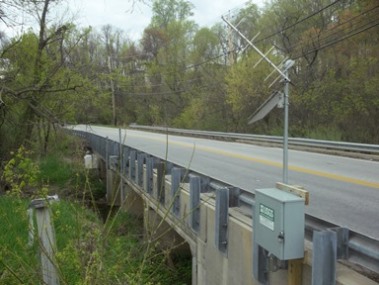
LOCATION.--Lat 39°26'34.6", long 76°47'00.3", Baltimore County, MD, Hydrologic Unit 02060003,
on downstream side of bridge on Gwynnbrook Avenue, 1.2 mi east of Delight, and 1.6 mi north of
Owings Mills.
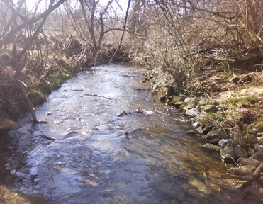
DRAINAGE AREA.--4.23 mi2.
PERIOD OF RECORD.--October 1998 to current year.
REVISIONS HISTORY.--WDR-US-2011: 1999(P), 2007(P), 2009-2010.
GAGE.--Water-stage recorder and crest-stage gage. Datum of gage is 533.50 ft above North American
Vertical Datum of 1988, from digital elevation model.
REMARKS.--U.S. Geological Survey satellite data-collection platform at station.
EXTREMES FOR PERIOD OF RECORD.--Maximum discharge, 1,760 ft3/s, September 7, 2011, gage height, 8.67 ft;
minimum discharge, unknown.
COOPERATION.--Funding for the operation of this station is provided by the Baltimore County Department
of Environmental Protection & Sustainability, and the U.S. Geological Survey.