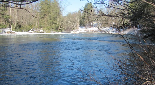
LOCATION.--Lat 39°31'32.9", long 79°24'38.7", Garrett County, MD,
Hydrologic Unit 05020006, on right bank 0.2 mi upstream of Fork Run, and 3.5 mi upstream from bridge on
Sang Run Road.
DRAINAGE AREA.--250 mi2.
PERIOD OF RECORD.--July 2011 to current year. Prior to January 24, 2023, published as YOUGHIOGHENY RIVER AT HOYES, MD.
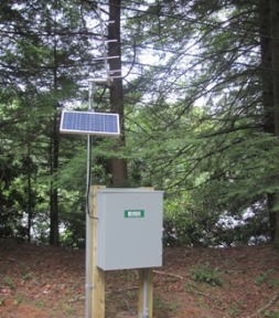
GAGE.--Water-stage recorder and crest-stage gage. Datum of gage is 2,017.47 ft above North American Vertical
Datum of 1988.
REMARKS.--Low and medium flow regulated by Deep Creek Reservoir, 0.2 mi upstream from station. U.S. Geological
Survey satellite data-collection platform at station. Rainfall displayed at this location is published under site number
393133079243901.
EXTREMES FOR PERIOD OF RECORD.--Maximum discharge, 13,000 ft³/s, Feb. 16, 2018, gage height, 9.70 ft;
minimum discharge, 23.0 ft³/s, Sept. 21, 2015.
COOPERATION.--Funding for the operation of this station is provided by the Maryland Department of the Environment.