PROVISIONAL DATA SUBJECT TO REVISION
Click to hidestation-specific text
 LOCATION.--Lat
38°08'20.3", long 75°11'01.1", Worcester County, MD,
Hydrologic Unit 02040303, on upstream left side of Bunting's
Bridge, 0.4 mi
LOCATION.--Lat
38°08'20.3", long 75°11'01.1", Worcester County, MD,
Hydrologic Unit 02040303, on upstream left side of Bunting's
Bridge, 0.4 miupstream from mouth, and 7.6 mi southeast of Cedartown.
DRAINAGE AREA.--Not determined.
PERIOD OF RECORD.--June 2018 to current year.
GAGE.--Water-stage recorder. Datum of gage is 0.00 ft above North American Vertical Datum of 1988.
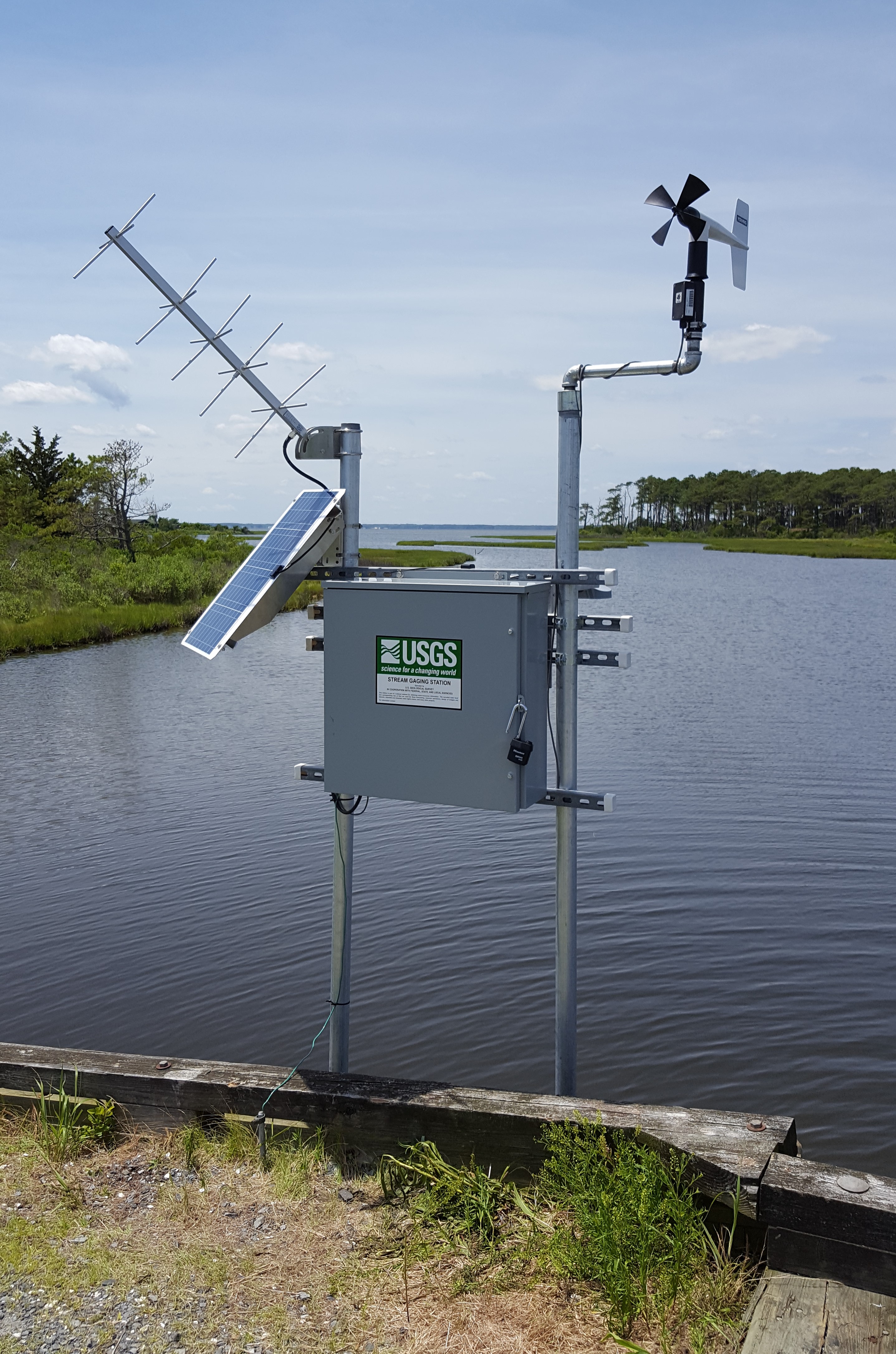
REMARKS.--This is a tidal station. Discharge is not determined at this location. U.S. Geological Survey satellite data-collection platform at station.
EXTREMES FOR PERIOD OF RECORD.--Maximum elevation, 2.77 ft, Oct. 12, 2019; minimum elevation, -2.14 ft, Nov. 15, 2018.
COOPERATION.--Funding for the operation of this station is provided by the National Park Service.
NOTICE: The
wind velocity and direction data for this station are temporary and
will only be displayed for 120 days. Time series values will NOT be
available for retrieval following the 120-day display
period.
The temporary classification means that documented routine
inspections and other quality assurance measures are not performed
that would make the data acceptable for archival, retrieval, or
future use in general scientific or interpretive studies.
Summary of all available data for this site
Instantaneous-data availability statement
