PROVISIONAL DATA SUBJECT TO REVISION
Click to hidestation-specific text
 LOCATION.--Lat
39°40'30.6", long 76°27'11.0", Harford County, MD,
Hydrologic Unit 02050306, on left bank, 100 ft upstream from dam, 0.5
mi upstream from Falling Branch, 4.2 mi west of Pylesville, and 30.3 mi
upstream from mouth.
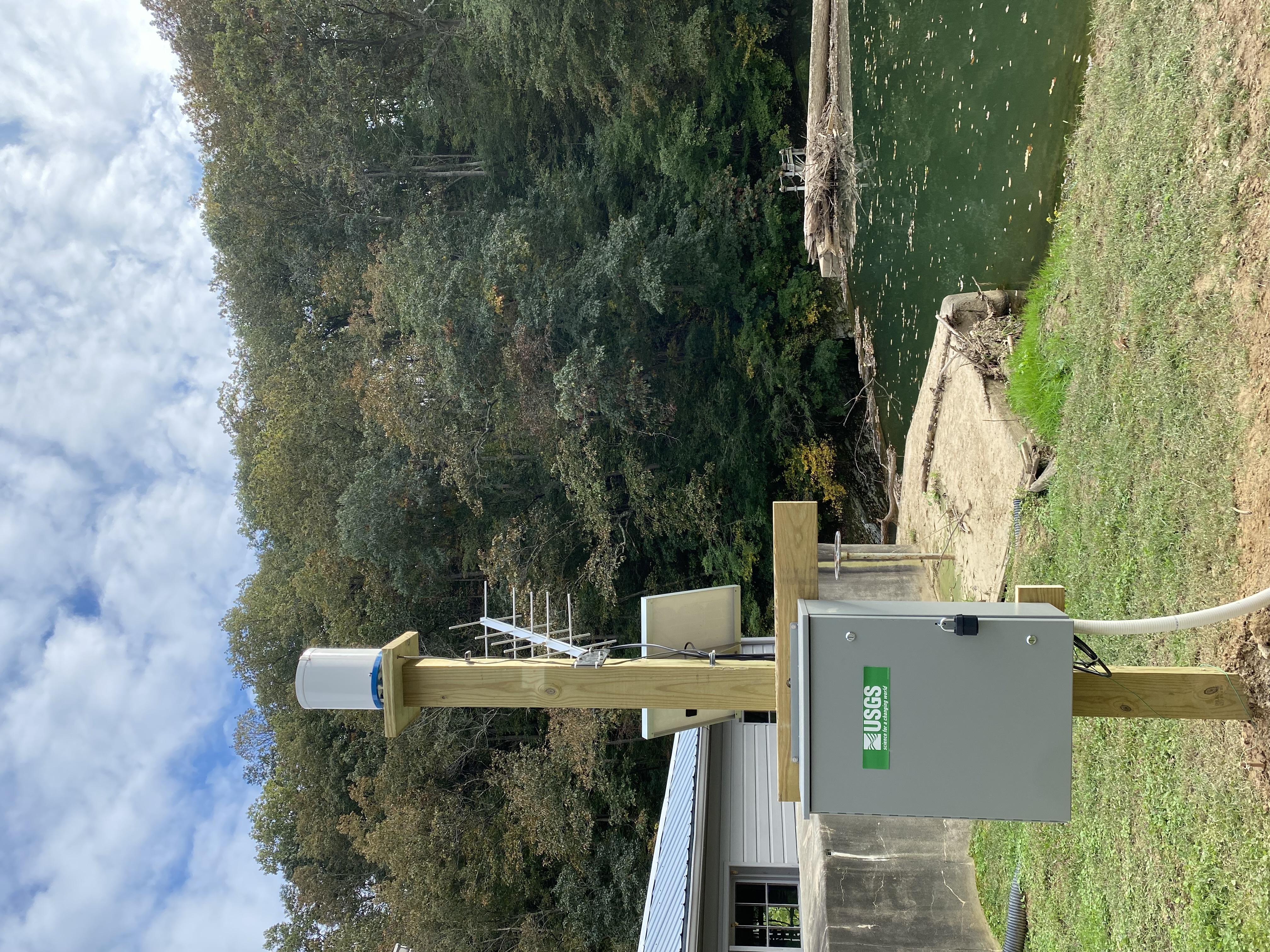
LOCATION.--Lat
39°40'30.6", long 76°27'11.0", Harford County, MD,
Hydrologic Unit 02050306, on left bank, 100 ft upstream from dam, 0.5
mi upstream from Falling Branch, 4.2 mi west of Pylesville, and 30.3 mi
upstream from mouth.DRAINAGE AREA.--61.3 mi2.
PERIOD OF RECORD.--October 2021 to current year.
GAGE.--Water-stage recorder. Datum of gage is 0.00 ft above North American Vertical Datum of 1988.
REMARKS.-- This is a stage-only station. Discharge is not determined at this location. U.S. Geological Survey satellite data-collection platform at station. Rainfall displayed at this location is published under site number 394031076271101.
COOPERATION.--Funding for the operation of this station is provided by the Harford County Department of Public Works and the U.S. Geological Survey.
Full resolution current video
Summary of all available data for this site
Instantaneous-data availability statement
