PROVISIONAL DATA SUBJECT TO REVISION
Click to hidestation-specific text
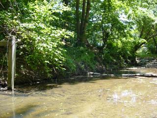
LOCATION.--Lat 39°23'09.2", long 76°28'07.9", Baltimore County,
   Hydrologic Unit 02060003, on left bank 100 ft upstream of culverts under Beaconsfield Drive, 0.6 mi
   upstream from confluence with Whitemarsh Run, 0.9 mi southeast of Perry Hall, and 2.1 mi east of
   White Marsh.
DRAINAGE AREA.--1.34 mi2.
PERIOD OF RECORD.--April 1992 to September 2009 (discontinued).
GAGE.--Water-stage recorder. Datum of gage is 75 ft above National Geodetic Vertical Datum of 1929.
Summary of all available data for this site
Instantaneous-data availability statement