PROVISIONAL DATA SUBJECT TO REVISION
Click to hidestation-specific text
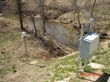
LOCATION.--Lat 39°07'13", long 76°46'56", Anne Arundel County, Hydrologic Unit 02060006,
DRAINAGE AREA.--11.6 mi2.
PERIOD OF RECORD.-- July 1948 to Septmenber 1958, November 2008 to current year.
GAGE.--Water-stage recorder. Datum of gage is 131 ft above National Geodetic Vertical Datum of 1929,
   from topographic map.
REMARKS.--U.S. Geological Survey satellite data-collection platform at station.
COOPERATION.--Funding for the operation of this station is provided by the Maryland Department of the
   Environment, and the U.S. Geological Survey.
Summary of all available data for this site
Instantaneous-data availability statement