PROVISIONAL DATA SUBJECT TO REVISION
Click to hidestation-specific text
 LOCATION.--Lat 39°42'05.4", long
76°32'00.4", Harford County, MD, Hydrologic Unit 02050306,
northeast of Norrisville Recreation Complex, Norrisville Rd, and 0.1 mi
south of Norrisville.
LOCATION.--Lat 39°42'05.4", long
76°32'00.4", Harford County, MD, Hydrologic Unit 02050306,
northeast of Norrisville Recreation Complex, Norrisville Rd, and 0.1 mi
south of Norrisville.PERIOD OF RECORD.--November 2019 to current year.
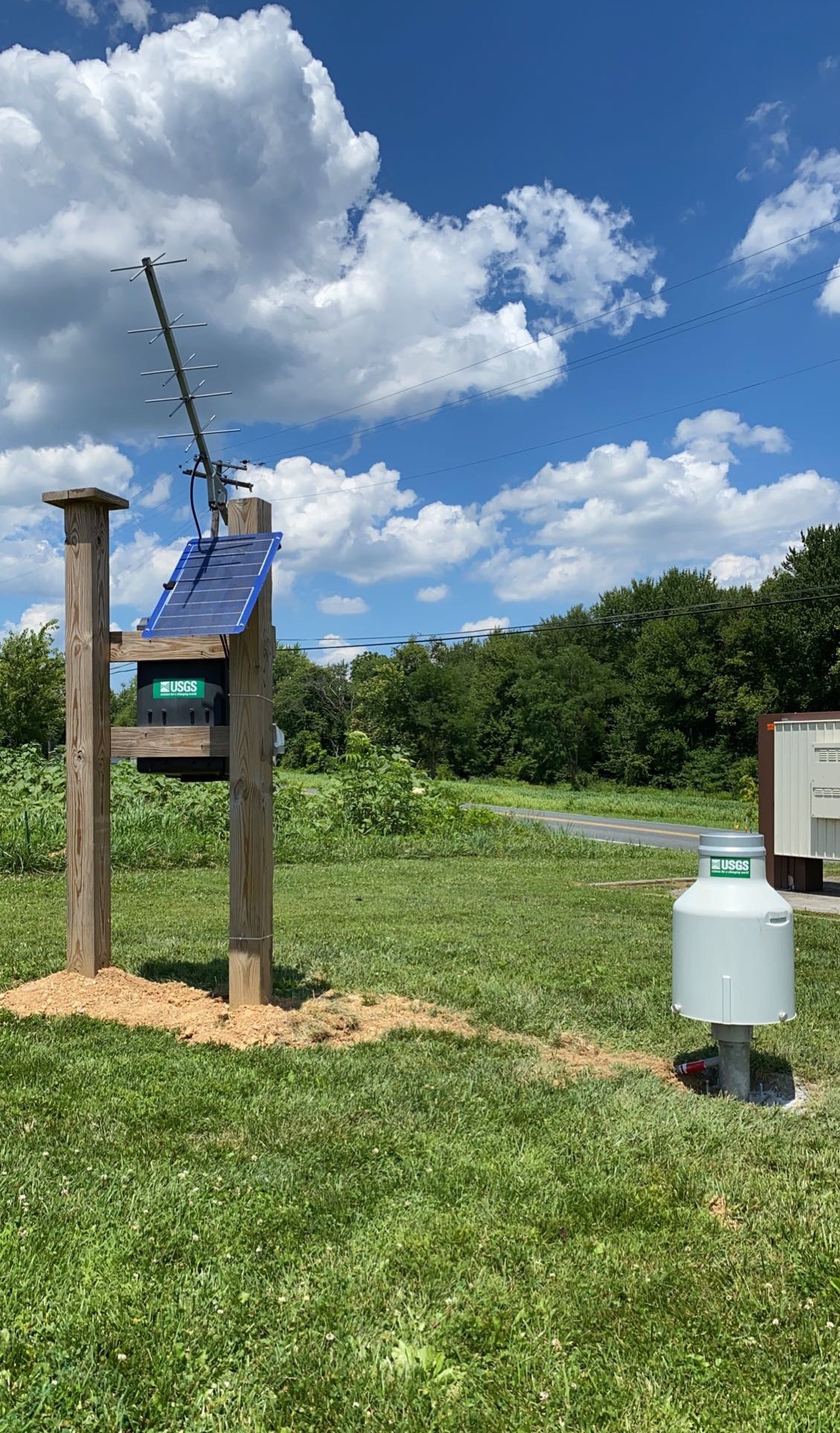
GAGE.--Weighing-cell precipitation gage. Elevation of gage is 731 ft above North American Verical Datum of 1988 from digital elevation model.
REMARKS.--U.S. Geological Survey water-data telemeter at station.
EXTREMES FOR PERIOD OF RECORD.--Maximum daily precipitation, 4.12 in., June 5, 2020.
COOPERATION.--Funding for the operation of this station is provided by the Harford County Department of Public Works.
Summary of all available data for this site
Instantaneous-data availability statement
