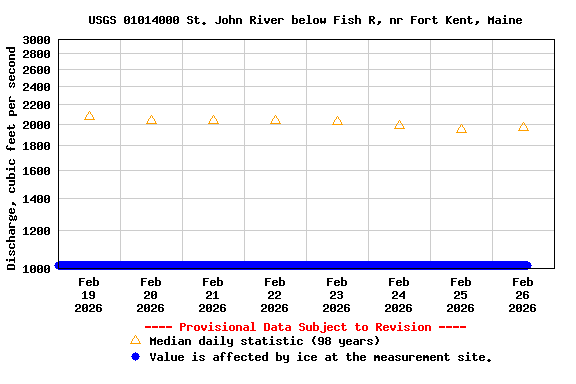
Period of Record - Discharge: October 1926 to current year. Prior to October 1931, published as "at Fort Kent." October 1931 to September 30, 2010, published as "below Fish R, at Fort Kent, ME."
The National Weather Service flood stage for this site is 22.5 ft. (Forecast)
For information on the areal extent and depth of flood inundation during flooding at and near this stream gage go to the USGS Flood-Inundation Mapper.
Current shift-adjusted rating in tab-delimited format.
These are updated daily and can change often! If you use these ratings it is important that you update often so that you have the most current version.
What is a shift-adjusted rating?
Min (1969) | Most Recent Instantaneous Value Nov 21 | 25th percen- tile | Median | Mean | 75th percen- tile | Max (1928) |
---|---|---|---|---|---|---|
1240 | 2970 | 4470 | 7000 | 9230 | 11100 | 45800 |