PROVISIONAL DATA SUBJECT TO REVISION

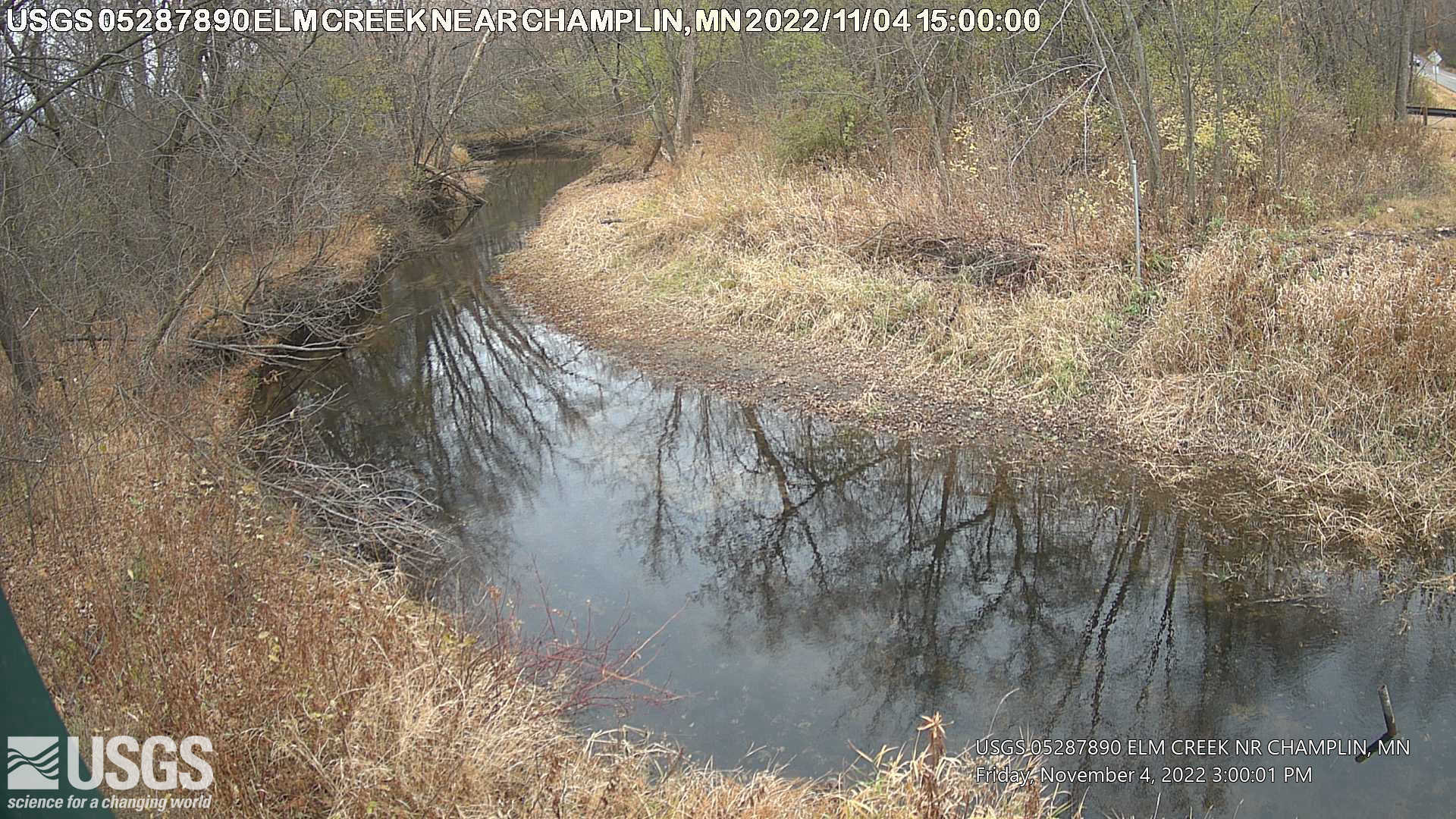
Operated in cooperation with the Elm Creek Watershed Management Commission with USGS matching funds. USGS WaterWatch's "Site Dashboard" provides seasonal and other context-oriented information about current and historical streamflow. Recent Webcam Images:
Click on the static or time-lapse images below to download or view larger versions from the
Storm Summary Time Lapse web page.
Time-lapse videos are considered proof of concept with no guarantee of up time. Videos can be viewed using Chrome, Firefox or Opera browser applications on smartphone, tablet, and computer devices. Additional browser support for Safari and Internet Explorer may be added later. Any use of trade, firm, or product names is for descriptive purposes only and does not imply endorsement by the U.S. Government. |
Summary of all available data for this site
Instantaneous-data availability statement
Most recent instantaneous value: 143 04-18-2024 12:00 CDT

| Min (1987) | 25th percen- tile | Median | Mean | 75th percen- tile | Most Recent Instantaneous Value Apr 18 | Max (2001) |
|---|---|---|---|---|---|---|
| 6.10 | 33 | 80 | 87 | 117 | 143 | 359 |
Most recent instantaneous value: 6.55 04-18-2024 12:00 CDT

Most recent instantaneous value: 855.24 04-18-2024 12:00 CDT

![]() U.S. Department of the Interior |
U.S. Geological Survey
U.S. Department of the Interior |
U.S. Geological Survey
Title: USGS Current Conditions for Minnesota
URL:
Page Contact Information: Minnesota Water Data Support Team
Page Last Modified: 2024-04-18 14:02:45 EDT
2.14 1.76 caww01