USGS 05289100 MINNEHAHA CREEK BLW GRAYS BAY DAM IN MINNETONKA MN

PROVISIONAL DATA SUBJECT TO REVISION

Click to hidestation-specific text
Minnehaha Creek Watershed District logo USGS Logo

Operated in cooperation with the Minnehaha Creek Watershed District with USGS matching funds.

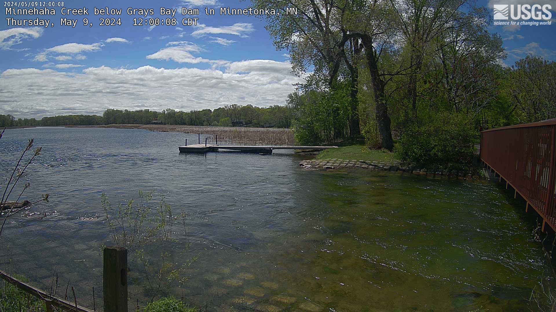
Click the image below to view a larger version of the most recent photo of creek or use the following link to view the series of recent photos tied interactively to the streamgage's water level recordings from the USGS Hydrologic Image and Visualization Information System (HIVIS) web page.

Most recent photo of Lake Minnetonka outflow into Minnehaha Creek
This station managed by the Mounds View Field Office.

Available Parameters Available Period
  
2020-09-25  2024-04-18


 (7)
 

  -- or --


Summary of all available data for this site
Instantaneous-data availability statement


Gage height, feet

Most recent instantaneous value: 926.05 04-18-2024   17:00 CDT
Graph of  Gage height, feet

Add up to 2 more sites and replot for "Gage height, feet"

?


Create presentation-quality / stand-alone graph.   Subscribe to WaterAlert      

See this graph on the Monitoring Location Pages