Warning: Javascript must be enabled to use all the features on this page!


Page Loading - Please Wait...

* We've detected you're using a mobile device. Find our Next Generation Station Page here.
Click to hideNews Bulletins
Click to hide state-specific text

The daily maximum and minimum water level values for groundwater wells after September 30, 2023 are no longer being displayed on NWISWeb. However, these values can be determined using the instantaneous values that are available through the "Time-Series: Current/Historical Observations" option in the available data dropdown box for the station.

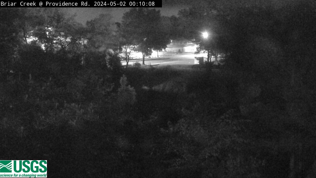
USGS 02146449 BRIAR CREEK AT PROVIDENCE ROAD AT CHARLOTTE, NC

PROVISIONAL DATA SUBJECT TO REVISION

Click to hidestation-specific text
Mecklenburg County Logo This station is operated in cooperation with Mecklenburg County, North Carolina.

Click on static image to see the Camera Summary Page for more details or options.

Time-lapse video products are considered a proof of concept with no guarantee regarding product up time. Time-lapse videos can be viewed using Chrome, Firefox or Opera browser application on smartphone, tablet, desktop and laptop devices. Additional browser support for Safari and Internet Explorer may be added later.

Any use of trade, firm, or product names is for descriptive purposes only and does not imply endorsement by the U.S. Government.

This station managed by the South Atlantic WSC Charlotte Field Office.

Available Parameters Period of Record
  
2004-10-15  2024-04-17


 (365)
 

  -- or --


Summary of all available data for this site
Instantaneous-data availability statement


Gage height, feet

          -- Daily Maximum data unavailable for the time period specified --
          -- Daily Minimum data unavailable for the time period specified --

Graph of DAILY Gage height, feet

Add up to 2 more sites and replot for "Gage height, feet"

?


Create presentation-quality graph.